What is recorded here
In wet terrain, on a gentle S-facing slope, in pasture. There are three ditch barrows (TS066-182001-; TS066-182002-; TS066-182003-) lying c. 107m, 112m and 137m to the NE respectively, a ring-barrow (TS066-073----) and a ditch barrow (TS066-073----) lying c. 247m and 220m to the ESE respectively and a ring-barrow (TS066-074----) lying c. 278m to the SE. Monument identified on Google Earth aerial imagery (Imagery Date: 2/20/2009) as a circular ring-ditch, c. 6m in diameter. It is likely that this is a ditch barrow given its proximity to other barrows. There are a lot of drainage channels in this field. There is no visible trace of the monument above ground.
Compiled by: Jean Farrelly
Date of upload: 11 December 2013
Ditch barrow, likely dating to the Early Bronze Age (c. 2500–1500 BCE). These barrows are significant as part of a broader funerary landscape indicating early communal burial practices in the region.
This remains an important historical record, but the official description says the monument is no longer visible or has been destroyed. The monument record does not grant public access. Check the route and ask the landowner before entering private land.
- What survives
- No visible remains or recorded as destroyed
Places near here
 Enclosure in LissobihaneEnclosure · 429 yd
 Enclosure in MooresfortEnclosure · 954 yd
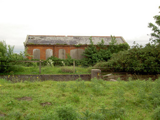 Emly Railway Stationstore/warehouse · 1194 yd
 Aughaclareen Bridgebridge · 1.0 mi
 Carn (site of)Cairn, burial cairn · 1.8 mi
 Glebe Ho.Castle, unclassified · 1.9 mi
 Site of Castle LoaghnyCastle, unclassified · 3.1 mi
 St Patrick's WellSpring · 4.1 mi
 Saint Patrick's WellSpring · 4.2 mi
 Kilteely HillMountain / peak · 5.6 mi
 Oola HillMountain / peak · 5.7 mi
 Flat cemetery in Knockainy WestFlat cemetery · 5.9 mi