What is recorded here
In wet pasture, on a low ridge 150m W of a watercourse that marks the townland boundary with Knocklong West. One of 28 barrows which make up the Elton barrow cemetery (LI040-229002/029-) recorded within a single field (Doody 1999, 97-8). Listed by the Discovery Programme as a potential barrow (Site No. 16) on examination of Bruff aerial photographic survey. Sixteen barrows clearly visible on a Topographic Survey of this field undertaken by the Discovery Programme (The Discovery Programme, “Topographic survey of Elton, County Limerick.,” accessed June 3 2021, http://discoveryprogrammeimages.locloudhosting.net/items/show/2868).
Twenty-two barrows were identified on a Magnetometry Survey of the same field carried out by the Discovery Programme (The Discovery Programme, “Magnetometry survey of Elton, County Limerick.,” accessed June 3, 2021, http://discoveryprogrammeimages.locloudhosting.net/items/show/2869).
Faint cropmark of possible barrow visible on Digital Globe orthoimage taken between 2011-13. No surface remains visible on Google Earth orthoimages.
See attached aerial photograph (Site No. 16), Google Earth orthoimages, topographic survey, magnetometry survey with sites numbered and Digital Terrain Model of Elton barrow cemetery by the Discovery Programme.
Compiled by: Martin Fitzpatrick
Date of upload: 24 June 2021
Ditch barrow, likely dating to the Early Bronze Age (c. 2000–1500 BCE). It is part of a significant cemetery complex, indicating a long-standing ritual or burial landscape in the Elton area.
The monument record does not grant public access. Check the route and ask the landowner before entering private land.
- What survives
- Recorded monument
Places near here
 BarrowBarrow, ditch barrow · 55 yd
 Kiln in DoonmoonKiln · 1089 yd
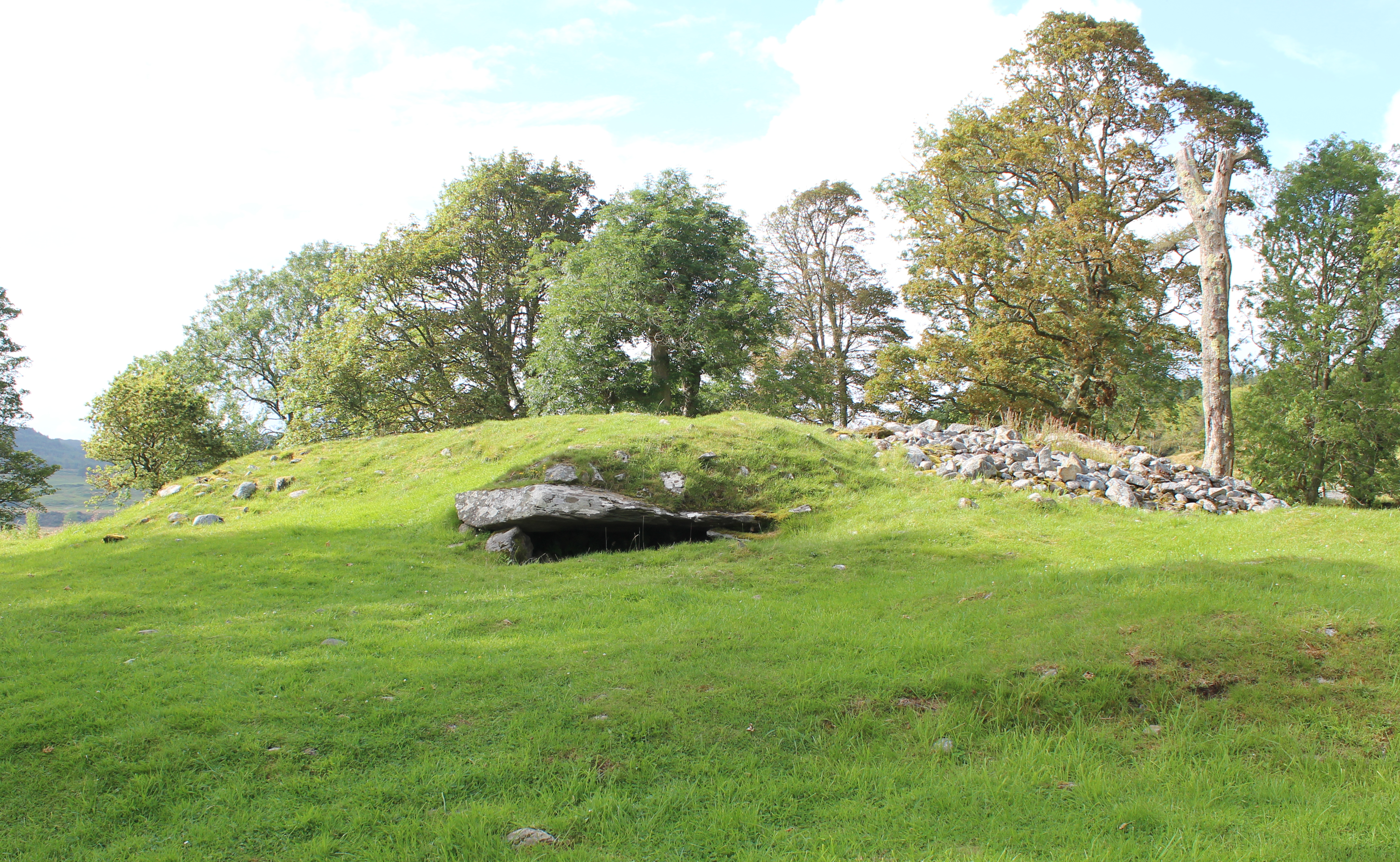 Burial mound in Knocklong WestBurial mound · 1411 yd
 J. Creedhouse · 1722 yd
 Mote - HachuredCastle, motte · 1.0 mi
 Athneasy FortCastle, motte and bailey · 1.4 mi
 St Patrick's WellSpring · 1.5 mi
 Edmund's WellSpring · 2.1 mi
 Flat cemetery in Knockainy WestFlat cemetery · 2.7 mi
 Ballinvreena LoopVisitor information · 3.1 mi
 Carn (site of)Cairn, burial cairn · 4.0 mi
 SlievereaghMountain / peak · 4.2 mi