What is recorded here
Located c. 100m N of the Mahore river, in pasture. A circular enclosure (diam. c. 8m) defined by a fosse, visible on satellite imagery (© Google Earth, imagery date 18 November 2018), identified and reported by Jean-Charles Caillère. There are a number of barrows in the general area, including a cluster of four ditch barrows (TS057-041----; TS057-042----; TS057-043----; TS057-044----) c. 290m to the NW. Another ditch barrow (TS065-082----) is located c. 33m to the SE.
See attached:
TS065-081----_01 Google Earth image (imagery date 18 November 2018)
Compiled by: Jean Farrelly
Date of upload: 11 January 2022
Ditch barrow, likely dating to the Early Bronze Age. Its earthwork features and location suggest a funerary or ceremonial function, typical of burial monuments in lowland Britain and Ireland during the second millennium BCE.
The monument record does not grant public access. Check the route and ask the landowner before entering private land.
- What survives
- Recorded monument
Places near here
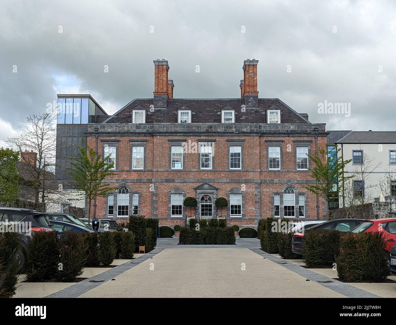 Enclosure in ChancellorslandEnclosure · 846 yd
 RoadRoad, road/trackway · 1754 yd
 Hut site in Duncummin,killeennagalliveHut site · 1.1 mi
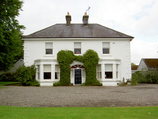 Farranasa Househouse · 1.1 mi
 Glebe Ho.Castle, unclassified · 1.7 mi
 CashlanCastle, unclassified · 2.1 mi
 Kilteely HillMountain / peak · 3.3 mi
 St. Patrick's WellSpring · 3.5 mi
 St Patrick's WellSpring · 4.5 mi
 Flat cemetery in Knockainy WestFlat cemetery · 4.6 mi
 Oola HillMountain / peak · 5.1 mi
 Ballinvreena LoopVisitor information · 7.5 mi