What is recorded here
Castle site described in 1943 as following; 'This castle is not marked on the O.S. map, but a point on Cromwell Hill marked "Cashlan" is possibly its site. The tradition remains locally that a castle once stood on the hill at this point, but there is no trace of it now' ( O'Kelly 1942-3, 175). Castle site described by Westropp (1906-7, 187-8) as following; 'Cromwells are an early English family in County Limerick; they possibly took their name from this place "Cromehoill," Cromellston, in County Limerick, named in 1299 (Plea R.). 1325 Isolde Cromwell had dower on Ballygodan (Ib., 144). 1399 The custody of the estate of Ric. Harold in Ballylogh, disturbed by his widow (Mem. R.). 1578 Pardon to J. Mac Morris O'Rahelly, of Cromal (Fi. 3364). 1583 Knockgromell, a poor, low C[astle]. or peel tower (Des. R., p. 6). It is called "Cromwelloknowing" C[astle. (Peyton, 15); Cromyglaon (lb., p. 228), and Gromewell (Carew). 1591 C[astle]. transferred by W. Agar to W. Carter (Inq. Chan., 6b). 1597 Jas. Cromwell got a lease of Corcomohead from the Cathedral Chapter (Exch. Records, p. 6). 1607 Cromwell or Cromawall C[astle]. to N. Haward (Pat. R.). 1637 Fra. Fitton, of Anny, married J. Lacy, and held, with other lands, Cromwell or Cnocknegromwille; he was "a distracted lunatic and non compos mentis" (Inq. Chan., 191). 1655 Cromwell, W. Fitton, and Annabel Browne (C.S., xxxi., p. 3 ; Petty Map, 68; B.D., 118). 1688 Jas. FitzGerald, of Cromwell, attainted (Trustee Map, " 21 "). 1703 Sold to B. Burton.' Castle site not visible today on Digital Globe aerial photographs. Tower House like castle depicted in 'Crumlin' on the 17th century Down Survey map of Small County Barony (Hib Reg.). See attached Down Survey map showing the castle in Crumlin
Compiled and revised by: Caimin O'Brien
Date of revised upload: 4 March 2021
See attached ASI aerial photograph ASIAP - 133/09 taken 23/08/2000. 332/10, 11, 14 taken 05/10/2002.
Castle site described in 1943 as following; 'This castle is not marked on the O.S. map, but a point on Cromwell Hill marked "Cashlan" is possibly its site. The tradition remains locally that a castle once stood on the hill at this point, but there is no trace of it now' ( O'Kelly 1942-3, 175). Castle site described by Westropp (1906-7, 187-8) as following; 'Cromwells are an early English family in County…
From the National Monuments Service (Archaeological Survey of Ireland) record LI033-053
This remains an important historical record, but the official description says the monument is no longer visible or has been destroyed. The monument record does not grant public access. Check the route and ask the landowner before entering private land.
- What survives
- No visible remains or recorded as destroyed
Places near here
Photo credits
- National Inventory of Architectural Heritage
- EamonnPKeane, Wikimedia Commons · CC0
- Mike Searle, Wikimedia Commons · CC BY-SA 2.0
- Hywel Williams, Geograph · Creative Commons Attribution-ShareAlike 2.0
- Colin Park, Geograph · CC BY-SA 2.0
- CaitNi, Wikimedia Commons · CC BY-SA 4.0
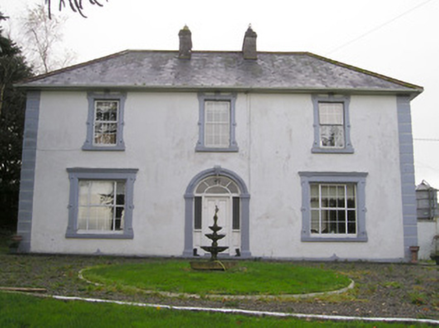 Ballinlough HouseHouse · 1743 ydCarrickittle RockCastle, unclassified · 1.1 mi
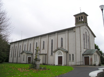 Catholic Church of Saint Patrick and Saint BrigidChurch/chapel · 1.4 mi
 The PresbyteryHouse · 1.5 miSt. Patrick's WellSpring · 1.8 mi
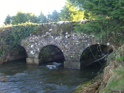 Ahnageeragh BridgeBridge · 2.2 mi
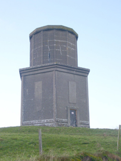 water tower2.2 mi
 Standing stone in Longstone (cullen Par.)Standing stone · 4.3 mi
 Castle (in ruins)Castle, tower house · 5.0 mi
 Grave YardGraveyard · 8.2 mi
 SlievereaghMountain / peak · 8.5 mi
 CarrigeenamronetyMountain / peak · 14 mi
More castles and forts in County Limerick · All of County Limerick
What do you know about this place?