What is recorded here
One of a group of nine ditch-barrows (KD010-057----/065-) located in same field. Cropmark of circular-shaped enclosure/barrow (approx. diam. 12m) visible on Google earth aerial imagery.
See attached image taken from Google Earth aerial photographs taken 28/06/2018, area of barrow cemetery shown in red outline, individual monument depicted with white dashed outline.
Compiled by: Caimin O'Brien based on details kindly provided by Faith Bailey.
Date of upload: 12 November 2018
Ditch barrow, likely dating to the Early Bronze Age. Its presence among a group of nine similar barrows suggests a significant ritual or burial landscape.
The monument record does not grant public access. Check the route and ask the landowner before entering private land.
- What survives
- Recorded monument
Places near here
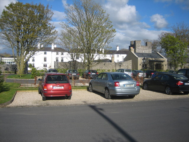 IndicatedBawn · 188 yd
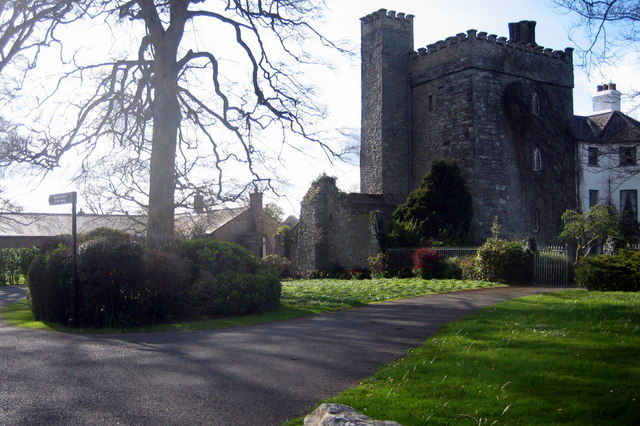 Barberstown CastleCastle, tower house · 192 yd
 Enclosure in Barberstown UpperEnclosure · 604 yd
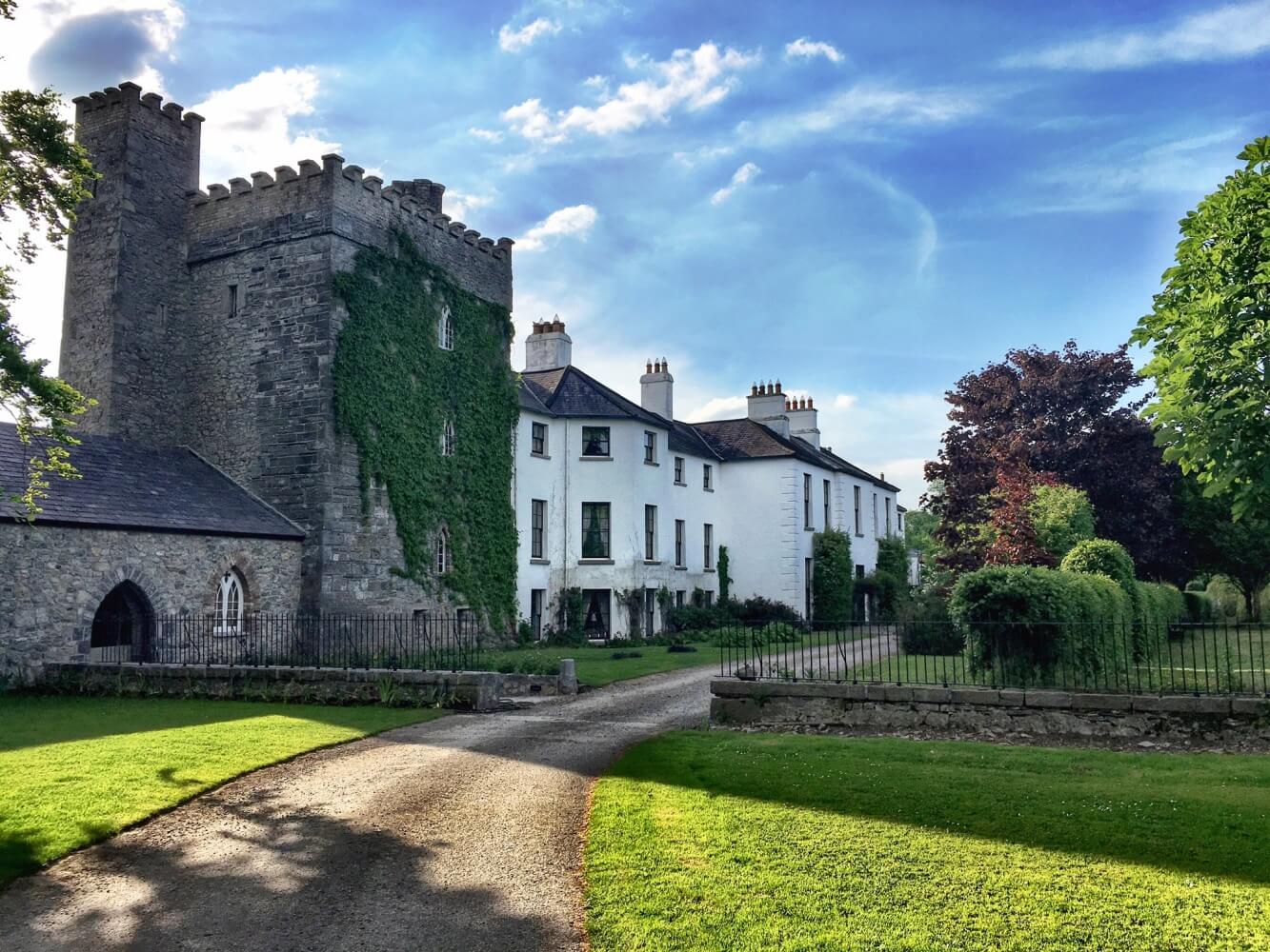 Enclosure in BarberstownEnclosure · 777 yd
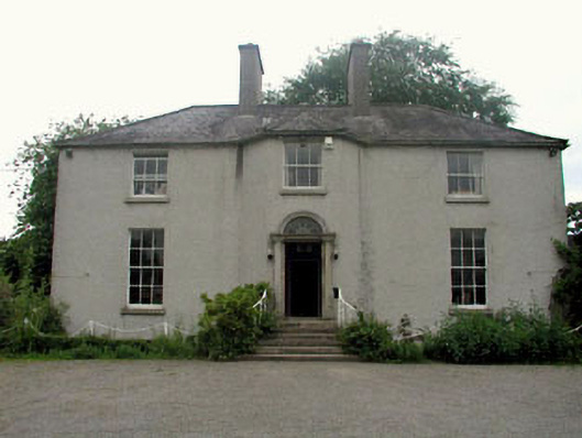 The Gleberectory/glebe/vicarage/curate's house · 925 yd
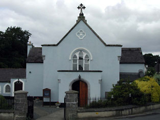 Saint Brigid's Catholic Churchchurch/chapel · 1115 yd
 The Steam MusemMuseum · 1427 yd
 Maguire's WoodWood · 2.3 mi
 Cocked Hat WoodWood · 2.4 mi
 Battle of GlenmamaMajor battlefield · 2.4 mi
 Andrew FayMemorial · 2.8 mi
 John McLaughlinMemorial · 3.1 mi