
What is recorded here
On poorly drained, partially reclaimed pasture with Tipperary county boundary immediately to E and to S where it is marked by a stream running roughly E-W. Ditch-barrow (TS058-014----) in field 160m to ENE, earthwork (LI033A017----) 60m to NE. Cropmark of circular-shaped area (diam. c. 3m) defined by a ditch visible on OSi orthophotos and on Google Earth orthoimage taken 16/01/2022. Cropmark of two other possible ditch-barrows visible on Google Earth orthoimage to E.
See attached Google Earth orthoimages courtesy of Faith Bailey
Compiled by: Caimin O'Brien based on details provided by Faith Bailey
Date of upload: 21 November 2022
Ditch barrow, likely dating to the Early Bronze Age. Its earthwork features suggest ritual or funerary significance, common to burial practices of the period in the region.
The monument record does not grant public access. Check the route and ask the landowner before entering private land.
- What survives
- Recorded monument
Places near here
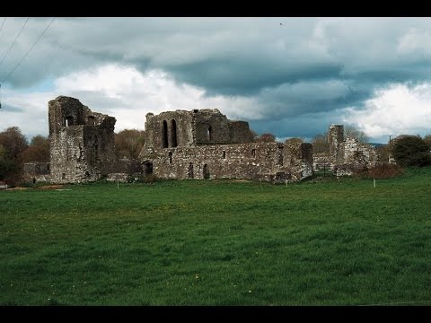 Earthwork in Ballybeg (coonagh By.)Earthwork · 83 yd
 CastleCastle, ringwork · 575 yd
 Oola Castle (in ruins)Castle, tower house · 1099 yd
 Field system in Shanaclogh EastField system · 1128 yd
 Shanaclough Househouse · 1271 yd
 Oola HillMountain / peak · 1.0 mi
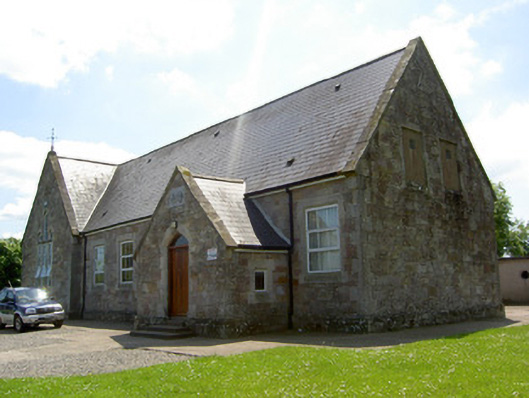 Monard National Schoolschool · 1.0 mi
 ToberagaddySpring · 5.0 mi
 St. Patrick's WellSpring · 7.2 mi
 Kilteely HillMountain / peak · 7.4 mi
 Flat cemetery in Knockainy WestFlat cemetery · 10 mi
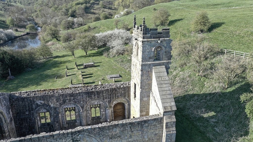 Settlement desertedSettlement deserted, medieval · 1165 yd
Other information
Photo: Credit not shown in the picture search · Rights wording not checked; contact us if this picture should be removed