What is recorded here
Indicated is an occupied settlement cluster in County Cork, Ireland. It appeared on the 1842 Ordnance Survey map as Barradaw West, then changed or was rebuilt. One house still stands with a five-bay hip roof, thatch, a brick chimney set to the left and a doorway set to the right. The odd placement suggests people adapted the building to life rather than fitting life to a neat design.
Shown on 1842 OS 6-inch map as settlement cluster named Barradaw West. Rebuilt post 1842 and includes 5-bay hip-roofed thatched structure with off-centre brick chimney to left and off-centre doorway to right; occupied.
The above description is derived from the published 'Archaeological Inventory of County Cork. Volume 2: East and South Cork' (Dublin: Stationery Office, 1994). In certain instances the entries have been revised and updated in the light of recent research.
Date of upload/revision: 14 January 2009
The monument record does not grant public access. Check the route and ask the landowner before entering private land.
- What survives
- Recorded monument
Places near here
 Leahy's Open FarmHeritage attraction · 1735 yd
 Church (Site of)Church · 1.3 mi
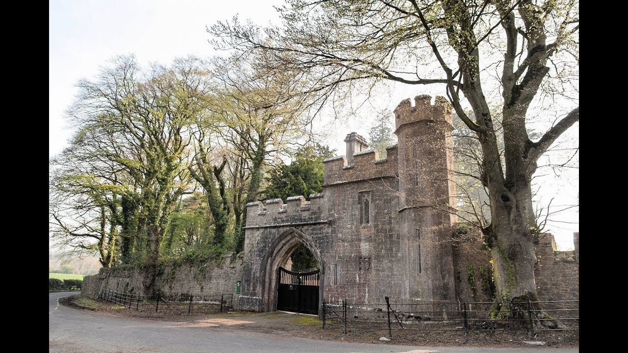 Enclosure in MonavarnogeEnclosure · 1.6 mi
 Clonmult Ambush SiteBattlefield · 1.8 mi
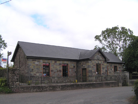 schoolschool · 1.8 mi
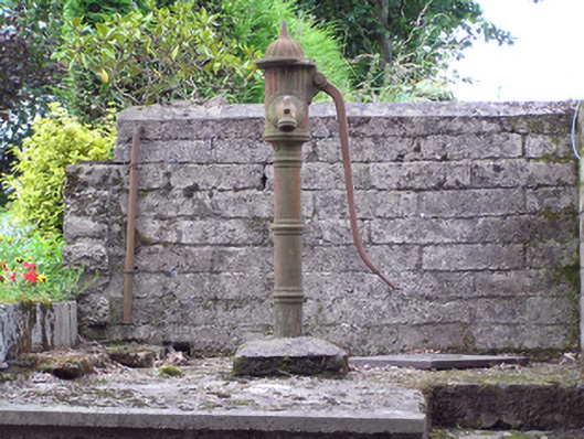 water pumpwater pump · 1.8 mi
 Salt HillMountain / peak · 2.3 mi
 Ballyknock Castle (Site of)Castle, unclassified · 2.7 mi
 Dungourney Caslte (Site of)Castle, unclassified · 2.8 mi
 Glenbower WoodForest · 3.5 mi
 Graveyard in KillasseraghGraveyard · 4.0 mi
 Fainin's WellSpring · 4.1 mi