What is recorded here
No, that is a new exact claim. The facts state a circular rath about 45m across, two banks, an intervening fosse, a field wall on the outer bank from east through south to north, and another ringfort about 15m to the south. They do not say Barnaderg North, though they may describe a place near Barnaderg.
In undulating grassland. Circular rath (D c. 45m), in fair condition, defined by two banks and an intervening fosse. A field wall overlies the outer bank from E through S to N. A ringfort (GA044-023----) lies c. 15m to S.
The above description is derived from the published 'Archaeological Inventory of County Galway Vol. II - North Galway'. Compiled by Olive Alcock, Kathy de hÓra and Paul Gosling (Dublin: Stationery Office, 1999).
Date of upload: 05 August 2010
The monument record does not grant public access. Check the route and ask the landowner before entering private land.
- What survives
- Recorded monument
Places near here
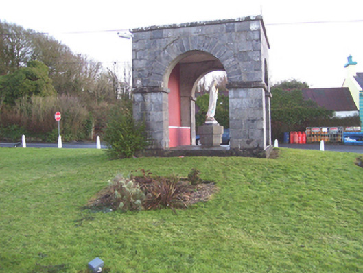 monumentmonument · 400 yd
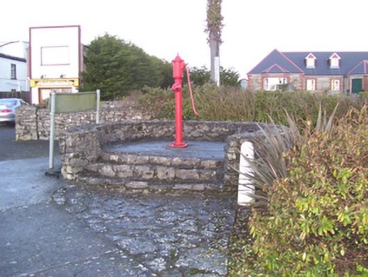 water pumpwater pump · 406 yd
 Barnaderg CastleCastle · 686 yd
 Field system in Barnaderg NorthField system · 967 yd
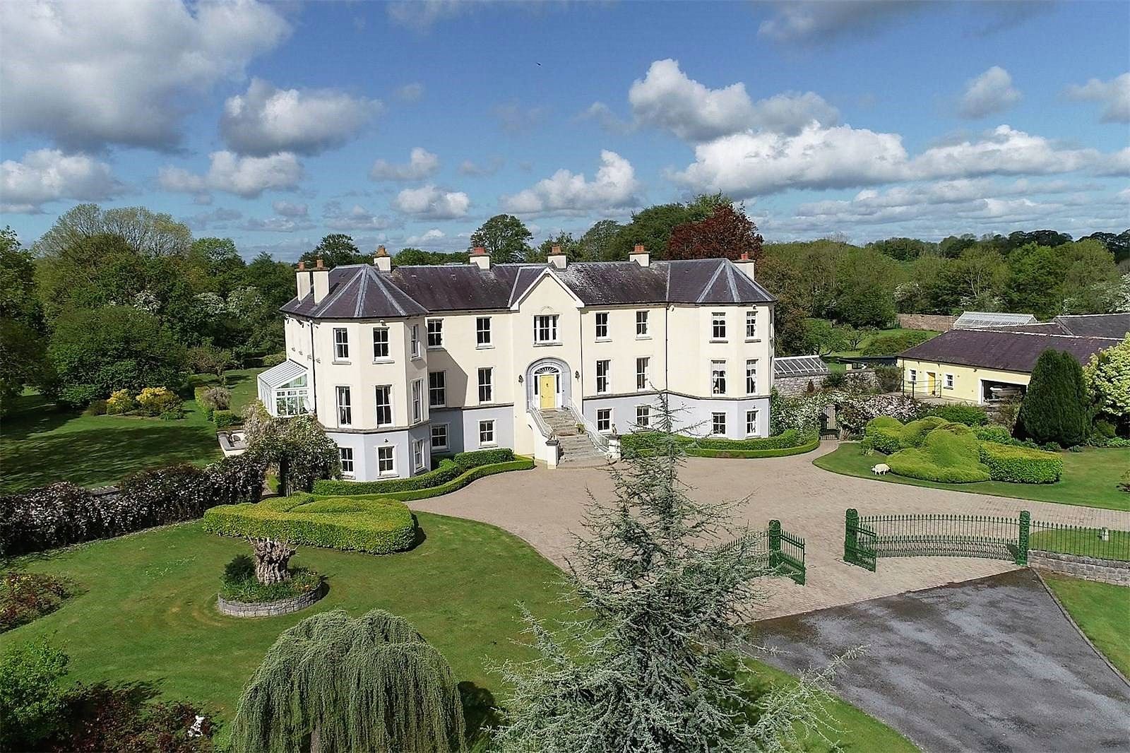 Lisherriddy FortFairy fort / earthen ringfort · 1.7 mi
 Knockmoy AbbeyHeritage attraction · 2.7 mi
 CastleCastle, unclassified · 4.3 mi
 Menlough IRAMemorial · 7.5 mi
 European ashEuropean ash · 8.1 mi
 Mass RockNamed rock · 9.2 mi
 KnockmaaWood · 9.8 mi
 Killererin Church (in Ruins)Church · 753 yd