What is recorded here
Fairy fort / earthen ringfort in Baptistgrange is a fairy fort or earthen ringfort in Baptistgrange, County Tipperary, Ireland. The roughly circular area has a map diameter of 30 metres and contains an inner earthen and stone bank, a wide intervening ditch, and an outer bank. A four-metre breach in the inner scarp and a six-metre breach in the outer bank at south-southeast may indicate a causewayed entrance.
In generally level pasture. Roughly circular area (map diam. 30m) defined by earthen and stone bank (Wth 10.75m; int. H 0.55m; ext. H 2.2m) reduced to scarp in places is obscured by overgrowth except at SE. Wide intervening fosse (Wth 10.7m; D 1.35) is denuded in places especially at SE. Outer bank (Wth 8.95m; int. H 1.85m; ext. H 0.5m). Breach (Wth 4m) in inner scarp and breach (Wth 6m) in outer bank at SSE may indicate a causewayed entrance. Limekiln abuts outer bank at NNW and bank either side is disturbed. No visible surface trace of outer fosse which is depicted on latest edition OS 6-inch map NNW-NE. Cropmark of an outer enclosing element is identified by aerial photography (ASIAP (37) 3, 4, 8 & 12, August 1996). Enclosures (TS070-129001-) and (TS070-129002-) c. 150m to SW.
Compiled by: Jean Farrelly
Date of upload: 26 August 2011
The monument record does not grant public access. Check the route and ask the landowner before entering private land.
- What survives
- Recorded monument
Places near here
 Enclosure in BaptistgrangeEnclosure · 175 yd
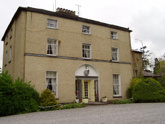 Clonacody Housecountry house · 918 yd
 Pedunculate OakPedunculate Oak · 944 yd
 Site of Old VillageSettlement deserted, medieval · 991 yd
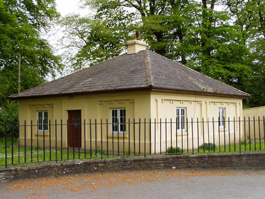 Lakefieldgate lodge · 1076 yd
 CastleCastle, motte · 1098 yd
 Castle (in ruins)Castle, tower house · 1.0 mi
 Grove WoodForest · 1.4 mi
 East GateMemorial · 2.5 mi
 Kilknockan HillMountain / peak · 3.6 mi
 CarrickbrockMountain / peak · 4.0 mi
 Enclosure in ClonacodyEnclosure · 1211 yd