What is recorded here
Indicated as a circular enclosure (diam. c. 55m) on the 1st (1839) ed. OS 6-inch map. By the 1900 revision of this map the monument has possibly been levelled as only field boundaries roughly following the outline of the enclosure are indicated. On satellite imagery (Digitalglobe, viewed 7 July 2020) it is apparent that the S-W-NW edge of the enclosure has been levelled, though the depression of a fosse is visible. The NW-N-SE edge of the enclosure may be incorporated in the surviving field boundary.
Compiled by: Jean Farrelly
Date of upload: 7 July 2020
The monument record does not grant public access. Check the route and ask the landowner before entering private land.
- What survives
- Recorded monument
Places near here
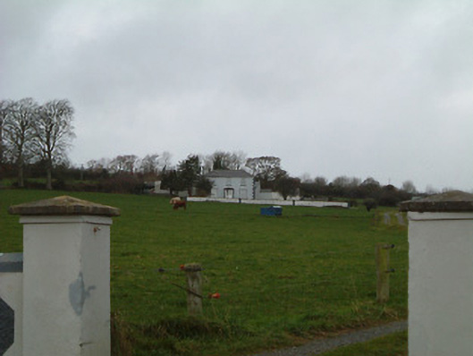 Bansehouse · 380 yd
 IndicatedEnclosure · 513 yd
 Enclosure in FoylatalureEnclosure · 787 yd
 Saint Aidan's Church (Kilmanagh)church/chapel · 1175 yd
 Castle (in ruins)Castle, unclassified · 1658 yd
 Killeen Fox CovertForest · 1.0 mi
 Site of CastleCastle, unclassified · 1.5 mi
 Ballykeefe AmphitheatreHeritage attraction · 2.1 mi
 Ballykeefe QuarryCliff · 2.1 mi
 Ballykeeffe Mass RockNamed rock · 2.1 mi
 Ballykeefe WoodForest · 2.2 mi
 Saint Brigid's WellSpring · 3.6 mi