
What is recorded here
Within the demesne of Banse House, which is located c. 130m to the ENE. Indicated as an oval tree-ring on the 1st (1839) ed. OS 6-inch map but hachured using the convention for monuments on the 1900 revision. An oval area (dims. c. 47m N-S; c. 53m E-W), the W quadrant has been truncated by a N-S running farm road.
Compiled by: Jean Farrelly
Date of upload: 7 July 2020
The monument record does not grant public access. Check the route and ask the landowner before entering private land.
- What survives
- Recorded monument
Places near here
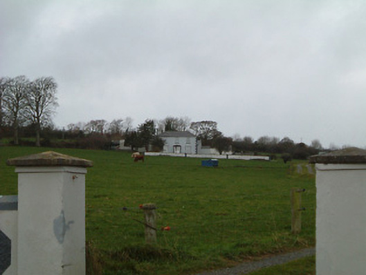 Bansehouse · 162 yd
 ToberaniddaunHoly well · 890 yd
 Enclosure in FoylatalureEnclosure · 903 yd
 Saint Aidan's Church (Kilmanagh)church/chapel · 1156 yd
 Castle (in ruins)Castle, unclassified · 1263 yd
 Killeen Fox CovertForest · 1586 yd
 Site of CastleCastle, unclassified · 1.8 mi
 Ballykeefe AmphitheatreHeritage attraction · 2.1 mi
 Ballykeefe QuarryCliff · 2.1 mi
 Ballykeeffe Mass RockNamed rock · 2.2 mi
 Ballykeefe WoodForest · 2.2 mi
 Warhouse HillMountain / peak · 3.4 mi
Other information
Photo: Credit not shown in the picture search · Rights wording not checked; contact us if this picture should be removed