
What is recorded here
Situated on top of a slight rise at the W foot of a hillock, in wet pasture. A Man-made underground passage (WM027-031----) lies c. 100m to NW. Depicted on the revised 1913 ed. OS 25-inch map as an oval-shaped earthwork. Levelled monument described in 1971 as a cropmark which is visible as an oval-shaped area (dims. 42m E-W; 35.6m N-S) of light-green grass defined by dark-green grass. There is another patch of differential growth within the centre of the light-green area. There are small heaps of stones on the edge of the monument at NW. The cropmark of the monument is not visible today on Digital Globe aerial photography.
Compiled by Alison McQueen, Vera Rahilly and Caimin O’Brien.
Date of upload: 06 November 2019
The monument record does not grant public access. Check the route and ask the landowner before entering private land.
- What survives
- Recorded monument
Places near here
 Man-made underground passage in BanagherMan-made underground passage · 162 yd
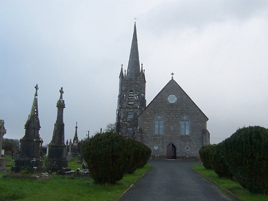 Saint Agnes's Catholic Churchchurch/chapel · 757 yd
 RoadRoad, hollow-way · 965 yd
 Heathstown CastleCastle, tower house · 1068 yd
 Enclosure in Porterstown (napper)Enclosure · 1295 yd
 CastleCastle, unclassified · 1.1 mi
 ScregganWood · 7.4 mi
 Abandoned Kinnegad CanalWood · 7.6 mi
 Croppies' GraveMemorial · 8.6 mi
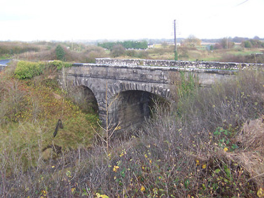 bridgebridge · 1153 yd
 Footy's Bridgebridge · 1163 yd
 Hut site in BallinlaHut site · 1298 yd
Other information
Photo: Credit not shown in the picture search · Rights wording not checked; contact us if this picture should be removed