
What is recorded here
Ban a tSusa is a worn earthen ring in Cork pasture, its shallow bank barely rising above the grass. The circle measures thirty-two metres across, small enough for a family farm but large enough to exclude ordinary sight. Its southeast gap appeared on maps before modern ploughs touched the earth, suggesting the opening served purpose rather than decay. The fairies may have built it for themselves, leaving humans only the shape and the memory of exclusion.
In pasture, on gentle SE-facing slope. Circular area (32.5m N-S) enclosed by worn and denuded earthen bank (H 1.45m) SSE->E. Bank levelled E->SSE; section to ESE appears to have been levelled recently; break depicted to SE on 1905 and 1936 OS 6-inch maps.
The above description is derived from the published 'Archaeological Inventory of County Cork. Volume 4: North Cork' (Dublin: Stationery Office, 2000). In certain instances the entries have been revised and updated in the light of recent research.
Date of upload/revision: 14 January 2009
The monument record does not grant public access. Check the route and ask the landowner before entering private land.
- What survives
- Recorded monument
Places near here
 Moated site in ArdnageehyMoated site · 801 yd
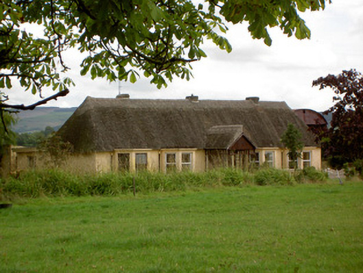 Ballynoran Househouse · 1030 yd
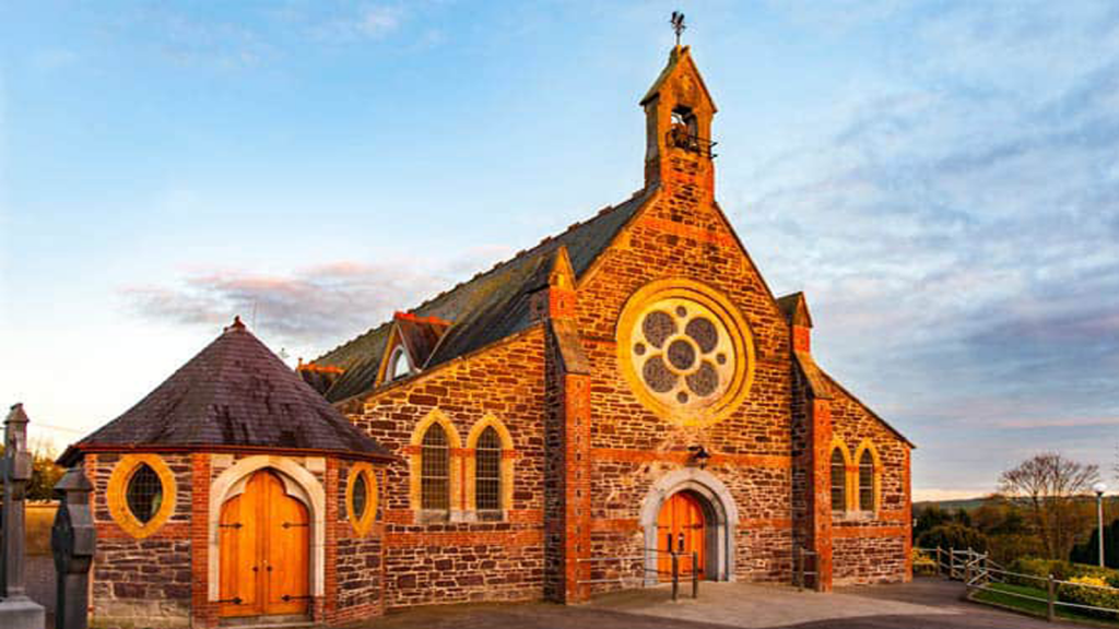 Cooliney Church (in Ruins)Church · 1182 yd
 CastleCastle, motte · 1227 yd
 BarrowBarrow, ring-barrow · 1296 yd
 Castle Harrison on Site of Castle (19*Castle, unclassified · 1.7 mi
 Holy Cross CemeteryGraveyard · 2.1 mi
 Ballyhoura WayWalking route · 3.3 mi
 Windmill HillMountain / peak · 3.4 mi
 CarrigeenMountain / peak · 3.5 mi
 BallinaboolaVisitor information · 3.7 mi
 Churchtown TrailsVisitor information · 5.1 mi
Other information
Photo: Credit not shown in the picture search · Rights wording not checked; contact us if this picture should be removed