
What is recorded here
In pasture, on elevated site. Oval flat-topped mound (diam. at base: 38m E-W; 48m N-S; top of mound c. 13m E-W; 18m N-S; H c. 1.5m). Side of mound less-noticeably steep on SW side. Mound surrounded by fosse (D 0.5m); traces of outer bank NW->SE. Fosse deepest and partially infilled NW->SE, where incorporated into field boundary system. Medieval parish church of Cooliney (14414) c. 1km to NNW.
The above description is derived from the published 'Archaeological Inventory of County Cork. Volume 4: North Cork' (Dublin: Stationery Office, 2000). In certain instances the entries have been revised and updated in the light of recent research.
Date of upload/revision: 14 January 2009
A local castle; wider significance not recorded.
The monument record does not grant public access. Check the route and ask the landowner before entering private land.
- What survives
- Recorded monument
Places near here
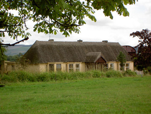 Ballynoran Househouse · 207 yd
 Moated site in ArdnageehyMoated site · 1035 yd
 Fulacht fia in Coolcaum (orrery and Kilmore By.)Fulacht fia · 1047 yd
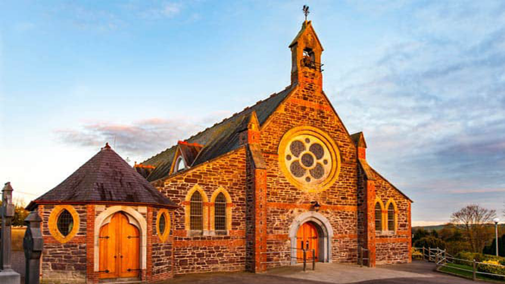 Cooliney Church (in Ruins)Church · 1114 yd
 Castle (Site of)Castle, unclassified · 2.1 mi
 Castle Harrison on Site of Castle (19*Castle, unclassified · 2.1 mi
 Ballyhoura WayWalking route · 2.6 mi
 Windmill HillMountain / peak · 2.8 mi
 Holy Cross CemeteryGraveyard · 2.8 mi
 CarrigeenMountain / peak · 3.4 mi
 BallinaboolaVisitor information · 3.8 mi
 Churchtown TrailsVisitor information · 4.4 mi
Other information
Photo: Credit not shown in the picture search · Rights wording not checked; contact us if this picture should be removed