
What is recorded here
Annagh South castle vanished completely from low-lying reclaimed land near the Awbeg River, leaving no visible trace behind. It belonged to the MacJames Barrys before Percival received it in 1629, then apparently became ruins during the 18th century. The earth may still hide walls, cellars or broken glass beneath soil that has been farmed, drained and forgotten.
On low-lying reclaimed land, c. 75m NE of Awbeg River. No visible surface trace of castle of the MacJames Barrys (MacCotter and Nicholls 1996, 207), granted to Percival in 1629 (Grove White 1905-25, vol. 1, 45), apparently demolished in 18th century (ibid., 46).
The above description is derived from the published 'Archaeological Inventory of County Cork. Volume 4: North Cork' (Dublin: Stationery Office, 2000). In certain instances the entries have been revised and updated in the light of recent research.
Date of upload/revision: 14 January 2009
The site of Annagh South Castle was associated with the MacJames Barrys and later granted to Percival in 1629. It is remembered for its historical connection to local landholding families and early 17th-century land transfers in the region.
The monument record does not grant public access. Check the route and ask the landowner before entering private land.
- What survives
- Recorded monument
Places near here
 Annagh Bridgebridge · 88 yd
 Kilgrogan Grave YardGraveyard · 548 yd
 TumulusMound · 642 yd
 Windmill HillMountain / peak · 1274 yd
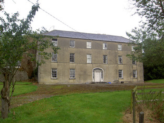 Churchtown Housecountry house · 1.2 mi
 Ballyhoura WayWalking route · 1.4 mi
 CastleCastle, motte · 2.1 mi
 Churchtown TrailsVisitor information · 2.7 mi
 Templeconnell Castle (in Ruins)Castle, tower house · 2.8 mi
 Battle of LiscarrollMajor battlefield · 3.6 mi
 Buttevant Rail DisasterMemorial · 4.2 mi
 Lady's WellSpring · 4.4 mi
Other information
Photo: Credit not shown in the picture search · Rights wording not checked; contact us if this picture should be removed