
What is recorded here
In low-lying pasture. Rectangular enclosure with smaller trapezoidal enclosure at NW corner projecting slightly to N. Trapezoidal area (39m N-S; 40.5m E-W at N side; 29.8m E-W at S side), raised above level of rectangular area, defined by low earthen bank to S,W and N; scarp to E; wide, external fosse. Numerous cattle breaks in bank; worn causewayed gap to SW. Fosse widest to N; partially waterlogged to W, N and E; dry to S. Roughly circular raised area (2.6m N-S; 2.7m E-W) enclosed by low earthen bank (int. H 0.3m; ext. H 0.55m) at NE corner of interior. Larger rectangular area (c. 50m N-W; c. 60m E-W) defined by fosse which extends E from midway along fosse of trapezoidal enclosure and joins up with it again at SW corner; W side also defined by inner bank and interior bisected by low earthen bank on N-S axis. Listed by Barry (1981, 82, no. 2). Second moated site (14183) c. 170m to ENE.
The above description is derived from the published 'Archaeological Inventory of County Cork. Volume 4: North Cork' (Dublin: Stationery Office, 2000). In certain instances the entries have been revised and updated in the light of recent research.
Date of upload/revision: 14 January 2009
The monument record does not grant public access. Check the route and ask the landowner before entering private land.
- What survives
- Recorded monument
Places near here
 BarrowBarrow, ring-barrow · 616 yd
 Ban a tSusaFairy fort / earthen ringfort · 801 yd
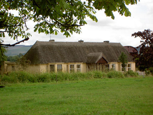 Ballynoran Househouse · 936 yd
 CastleCastle, motte · 1035 yd
 Eglis a Dridin (in Ruins)Church · 1418 yd
 Castle Harrison on Site of Castle (19*Castle, unclassified · 1.5 mi
 Holy Cross CemeteryGraveyard · 2.3 mi
 Ballyhoura WayWalking route · 3.0 mi
 CarrigeenMountain / peak · 3.1 mi
 Windmill HillMountain / peak · 3.3 mi
 BallinaboolaVisitor information · 3.3 mi
 Rogan's Rock CovertWood · 4.8 mi
Other information
Photo: Credit not shown in the picture search · Rights wording not checked; contact us if this picture should be removed