
What is recorded here
In pasture, on gentle S-facing slope. Circular area (5.2m N-S; 5m E-W) enclosed by shallow fosse (D 0.25m) with almost levelled outer bank.
The above description is derived from the published 'Archaeological Inventory of County Cork. Volume 4: North Cork' (Dublin: Stationery Office, 2000). In certain instances the entries have been revised and updated in the light of recent research.
Date of upload/revision: 14 January 2009
Ring-barrow, likely dating to the Early Bronze Age. This type of burial monument is significant as it reflects early communal burial practices and social organisation in prehistoric Ireland.
The monument record does not grant public access. Check the route and ask the landowner before entering private land.
- What survives
- Recorded monument
Places near here
 Moated site in ArdnageehyMoated site · 380 yd
 IndicatedEnclosure · 944 yd
 Eglis a Dridin (in Ruins)Church · 1426 yd
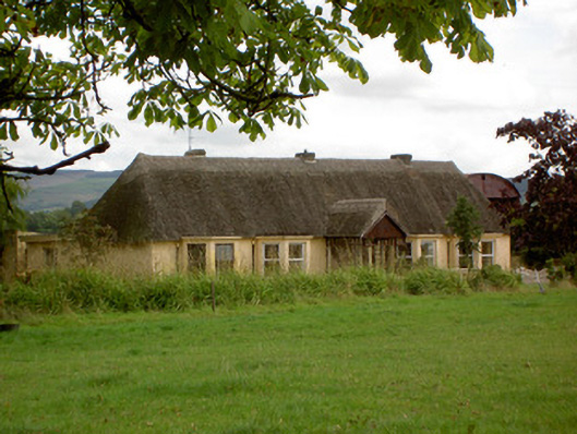 Ballynoran Househouse · 1520 yd
 CastleCastle, motte · 1581 yd
 Castle Harrison on Site of Castle (19*Castle, unclassified · 1.2 mi
 Holy Cross CemeteryGraveyard · 2.2 mi
 CarrigeenMountain / peak · 2.8 mi
 BallinaboolaVisitor information · 3.0 mi
 Ballyhoura WayWalking route · 3.1 mi
 Windmill HillMountain / peak · 3.6 mi
 Rogan's Rock CovertWood · 4.6 mi
Other information
Photo: Credit not shown in the picture search · Rights wording not checked; contact us if this picture should be removed