What is recorded here
Baltrasna holds a dimpled grass mound fifty metres from a rath, yet no map has ever drawn it. The earth rises one to two metres above the undulating ground, forming a broad circular shadow that may mark a forgotten barrow. Someone built or shaped that local height before surveyors arrived, leaving a quiet puzzle beside a known boundary.
Situated on a local height in an undulating landscape. This feature is not depicted on any edition of the OS 6-inch map. It consists of a raised circular and slightly dimpled grass-covered area (diam. of top c. 12m E-W: 9.5m N-S; diam. of base 24m E-W; H 1.1ma t N to 1.7m at S) with a slight dimple on the top at SE. It might be a barrow. Rath (ME014-012----) is c. 50m to the WSW.
The above description is derived from the published 'Archaeological Inventory of County Meath' (Dublin: Stationery Office, 1987). In certain instances the entries have been revised and updated in the light of recent research.
Compiled by: Michael Moore
Date of revision: 21 November 2018
The monument record does not grant public access. Check the route and ask the landowner before entering private land.
- What survives
- Recorded monument
Places near here
 IndicatedFairy fort / earthen ringfort · 77 yd
 Enclosure in Baltrasna (fore By.)Enclosure · 1140 yd
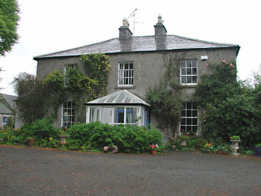 Killeagh Houserectory/glebe/vicarage/curate's house · 1.1 mi
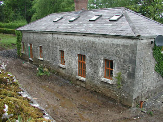 worker's houseworker's house · 1.2 mi
 Moat CastleCastle, unclassified · 1.4 mi
 CastleCastle, unclassified · 1.7 mi
 European BeechEuropean Beech · 1.8 mi
 Mount FortuneMountain / peak · 2.3 mi
 Zip WireHeritage attraction · 2.4 mi
 European YewEuropean Yew · 2.4 mi
 Memorial CrossMemorial · 2.6 mi
 Seafin HillMountain / peak · 2.7 mi