What is recorded here
On a NE-facing slope, just below crest of hill on a break of slope. The slope is quite steep beyond the enclosure which is under tillage. Donaghmore church (TS077-027001-) is visible 1.5km to the NE. Monument levelled but still visible as an oval area (diam. 46m N-S; 39.3m E-W) defined by a very gradual scarp (Wth 0.8m; H 0.7m). A field boundary runs NE-SW along NW quadrant of the enclosure.
Compiled by: Jean Farrelly
Date of upload: 26 August 2011
The monument record does not grant public access. Check the route and ask the landowner before entering private land.
- What survives
- Recorded monument
Places near here
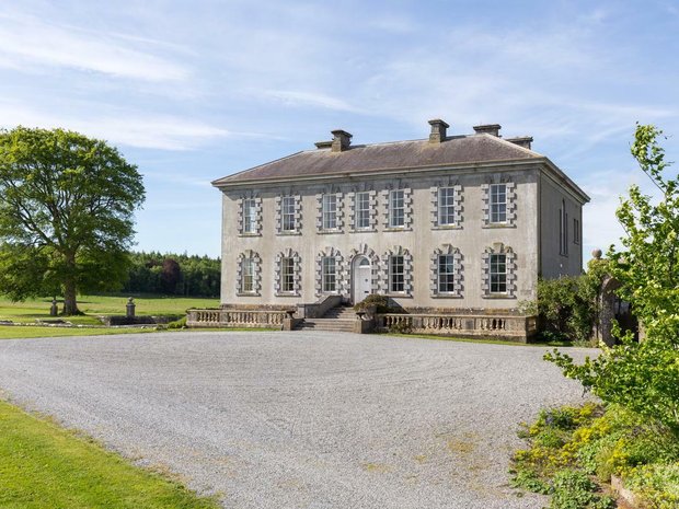 Enclosure in Ballyveelish NorthEnclosure · 818 yd
 Structure in Ballyveelish NorthStructure · 873 yd
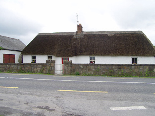 The Thatchhouse · 1331 yd
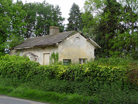 Knockeevan Housegate lodge · 1351 yd
 Pedunculate OakPedunculate Oak · 1406 yd
 CastleCastle, unclassified · 1487 yd
 Castle (in ruins)Castle, tower house · 1.7 mi
 Persian WalnutPersian Walnut · 2.5 mi
 Francis HopkinsMemorial · 3.5 mi
 John HackettMemorial · 3.5 mi
 Main GuardHeritage attraction · 3.5 mi
 Merchant's HouseVisitor information · 3.6 mi