What is recorded here
In improved pasture, on low rise of undulating land. Circular area (dims. 29m N-S; 30m E-W) defined by earthen bank (Wth 6m; int. H 0.6m; ext. H 1.5m) E-S-NNW and scarp NNW-N-E. Mature thorn trees all around bank and scarp. Gap (Wth 1.8m) in bank at ESE may be possible entrance. External fosse (Wth 6.15m; D 0.5m) E-S-W is in-filled with field clearance stones and organic debris in places. Interior tends downslope to N and has small mound of stones in W half, which support large rectangular block of concrete marking early 20th century burial place of 'O'Malley Baby.' Enclosure (TS068-048001-) and earthwork (TS068-048002-) are c. 175m and c. 125m to S respectively.
Compiled by: Jean Farrelly
Date of upload: 26 August 2011
The monument record does not grant public access. Check the route and ask the landowner before entering private land.
- What survives
- Recorded monument
Places near here
 Suircastle Househouse · 625 yd
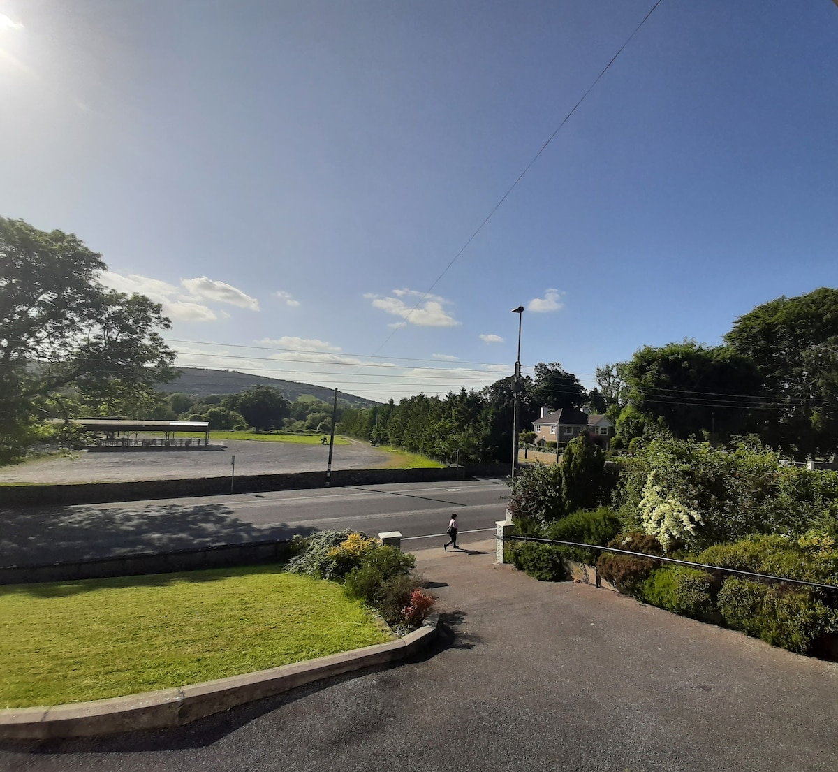 Enclosure in Lagganstown UpperEnclosure · 719 yd
 Site of ChurchChurch · 1111 yd
 Suir CastleCastle · 1120 yd
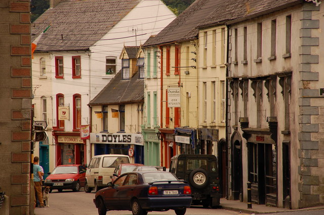 Bawn in Lagganstown UpperBawn · 1177 yd
 New Bridgebridge · 1371 yd
 Athassel PrioryHeritage attraction · 1731 yd
 Caucasian zelkovaCaucasian zelkova · 3.8 mi
 Cappa WoodWood · 4.4 mi
 SturrakeenMountain / peak · 6.0 mi
 Laghtshanaquilla North-East TopMountain / peak · 6.6 mi
 The RockViewpoint · 7.6 mi