What is recorded here
On a gentle WNW-facing slope, in the foothills of Knockseefin, in recaimed pasture. Enclosures (LI024-143004-/003-/001-) lie 45m to ESE, 55m to E and 145m to E, respectively. Not depicted on OS historic mapping. Monument identified by the Bruff aerial photographic survey in 1986 (Bruff 65(01) & Bruff 65(02): AP 4/3681) as a subcircular-shaped earthwork, having a circular-shaped anomaly in the centre. Monument is visible as a circular-shaped earthwork (diam. 33m) on Digital Globe orthophotos taken 2011-13 and on Google Earth orthoimages taken 25/03/2017. A small arc (C 15m) of the earthwork is visible on the WNW side of the field boundary.
See attached Google Earth orthoimage and Bruff aerial survey image labelled Bruff 65(01) & 65(02).
Compiled by: Alison McQueen and Vera Rahilly
Date of upload: 25 July 2020
The monument record does not grant public access. Check the route and ask the landowner before entering private land.
- What survives
- Recorded monument
Places near here
 Enclosure in LackanascarryEnclosure · 646 yd
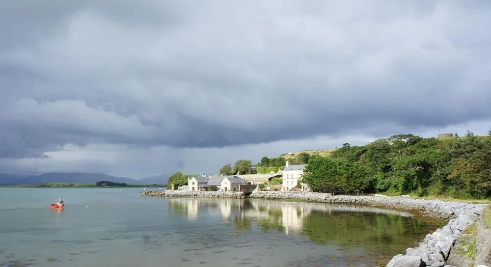 BarrowBarrow, ring-barrow · 843 yd
 Church in LinfieldChurch · 876 yd
 KnockseefinMountain / peak · 1092 yd
 (Site of) Nicker CastleCastle, unclassified · 1477 yd
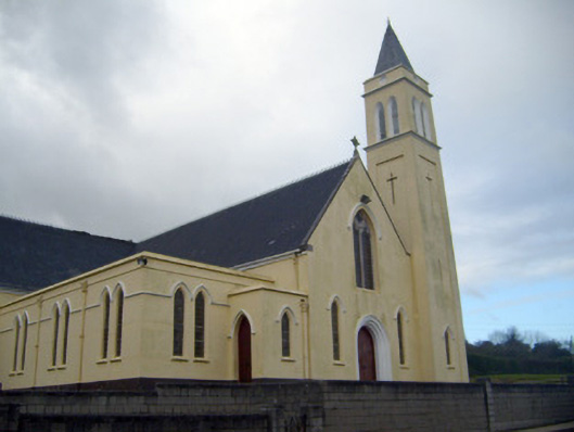 Catholic Church of Saint John the Baptistchurch/chapel · 1585 yd
 CastleCastle, unclassified · 1.5 mi
 St. Patrick's WellSpring · 2.8 mi
 Kilteely HillMountain / peak · 3.2 mi
 Graveyard in AbingtonGraveyard · 5.1 mi
 Flat cemetery in Knockainy WestFlat cemetery · 7.1 mi
 St Patrick's WellSpring · 9.4 mi