What is recorded here
On a S-facing slope in very undulating terrain, land falling down to level valley floor. In pasture when visited in 2018 but appears to have been tilled since (Google Earth satellite imagery 17 September 2019). View is limited upslope to the N and E but is good S and extensive to the W. Two enclosures (KK005-090---- and KK005-091----) are located c. 100m and c. 200m to the NW and SW respectively. Identified on an aerial photograph (GB90.BM.31), which shows a curvilinear enclosure defined by two widely spaced fosses. The monument survives a circular area (diam. 32m) defined by a low broad bank (Wth at crest 1.3m; Wth at base 3.3m; int. H 0.2m; ext. H 0.4m) and outer fosse (Wth 1.6m; D 0.12m) enclosed by a flat berm (Wth 0.18-25m) and low broad outer bank (Wth at crest 1.5m; Wth at base 3.7m; int. H 0.25m; ext. H 0.2-0.7m), which is more pronounced in the S, and outer fosse (Wth 2m; D 0.2m). The outer enclosure (diam. 80m N-S; 70m E-W) is not completely concentric with the inner enclosure, the berm being at its narrowest from NE-SE and at the W, and broadening out in the N quadrant and the SW sector. The interior slopes S with the natural fall of the land and there is a possible entrance in the S sector.
See attached photograph:
KK005-089----_01 Image © 2019 CNES/Airbus: Google Earth satellite imagery 17 September 2019
Compiled by: Jean Farrelly and Dr. Gillian Barrett for the Archaeological Survey of Ireland
Date of revised upload: 24 April 2018
The monument record does not grant public access. Check the route and ask the landowner before entering private land.
- What survives
- Recorded monument
Places near here
 Enclosure in BallyraggetEnclosure · 178 yd
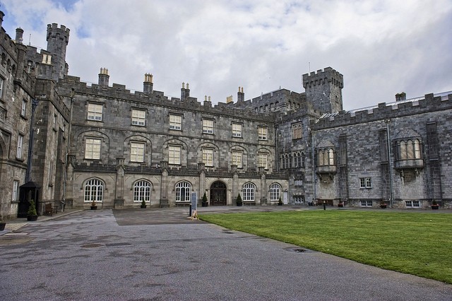 Enclosure in SraleaghEnclosure · 631 yd
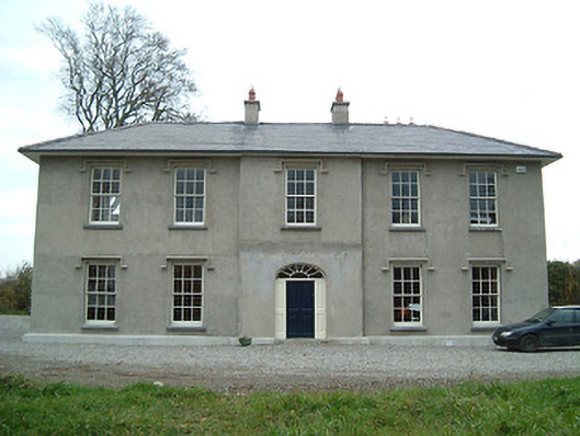 Eden Hallfarm house · 778 yd
 Graveyard in SraleaghGraveyard · 839 yd
 Church in FinnanChurch · 889 yd
 Ballyragget Cas.Castle, tower house · 1614 yd
 CastleCastle, unclassified · 1723 yd
 Donaghmore WellSpring · 1.0 mi
 Anker's IslandIsland · 1.8 mi
 Jenkinstown ParkForest · 5.2 mi
 Emma Jane Browne-ClaytonMemorial · 5.5 mi
 Red horse-chestnutRed horse-chestnut · 5.5 mi