What is recorded here
In gently undulating pasture with moderate to good views in all directions. The area seems to have been used to spread topsoil and small rubble within the last 10 years. Not visible at ground level. Three ring-ditches identifed on OS aerial photographs (2402/3), two appeared to be conjoined (TS065-011001- and TS065-011002-) and are c. 50m to N.
Compiled by: Jean Farrelly
Date of upload: 12 May 2014
The monument record does not grant public access. Check the route and ask the landowner before entering private land.
- What survives
- Recorded monument
Places near here
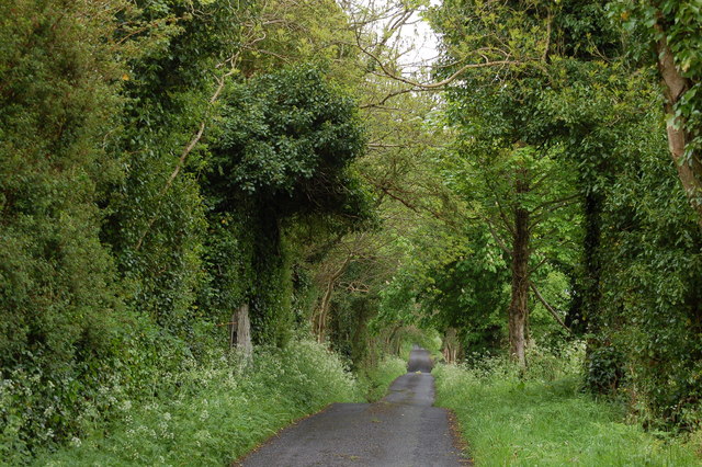 Enclosure in BallyhoneEnclosure · 293 yd
 Glebe Ho.Castle, unclassified · 1190 yd
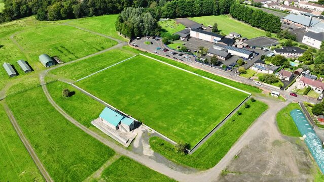 Field system in BallyhoneField system · 1566 yd
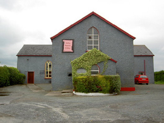 Halla Naomh Ailbhechurch/chapel · 1.1 mi
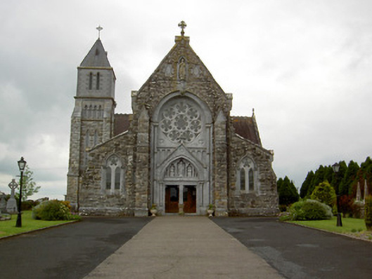 Saint Ailbe's Catholic Churchchurch/chapel · 1.1 mi
 CastleCastle, motte · 1.1 mi
 Carn (site of)Cairn, burial cairn · 2.2 mi
 St Patrick's WellSpring · 2.4 mi
 Saint Patrick's WellSpring · 3.4 mi
 Flat cemetery in Knockainy WestFlat cemetery · 3.4 mi
 Kilteely HillMountain / peak · 4.2 mi
 Ballinvreena LoopVisitor information · 5.4 mi