What is recorded here
Ballynaslee once held two dolmens, including Clogan-carneen, a massive stone resting on supports above a hollow chamber. People broke the chamber open and found pig bones, while nearby Mainsair Asal, the Asses’ Manger, was said to hold human remains. Both structures have vanished from view, leaving behind only a stone-lined well, a lime kiln and the steep grassy slope above the Nore valley.
On steep slopes of hills to W of the Nore river valley, a little below the gently sloping crest, in grassland. There are good views along valley N-S and E across valley. Poor views W towards higher land. This is one of two possible megalithic structures, neither of which are visible above ground. According to Borlase (1897, vol. 2, 402), in this townland there were ‘two dolmens, called respectively ‘Clogan-carneen,’ and ‘Mainsair Asal’…At this place, according to Tighe [1802, 625], was “a great stone, called in Irish ‘Cloghan carneen’. It was about 15 feet long by only 8 feet broad, and 20 inches thick, and was supported on six or eight large stones which stood in the side of a cavity, and raised it 3 feet above the ground. Beneath was a place hollowed out and floored with stones”. The monument was destroyed, the hollow place only remaining in one of which, when the stone was broken, was found a heap of bones, with teeth like those of pigs. On the hill, a hundred yards above, a cavity appeared, from which the great stone might have been raised, and slipped down upon its supporters. Not far from this dolmen, adds the same writer, was “a square enclosure, formed of four large, upright stones, with two others forming a roof. Three or four side-stones had been taken away. On digging within, human bones, it was said had been found. The earth around it was raised. The entrance was at an angle. This latter monument was called in Irish ‘Mainsair Asal’ or the Asses’ Manger’. There is a stone-lined well and a lime kiln at this location.
Compiled by: Jean Farrelly
Date of upload: 2 February 2016
This remains an important historical record, but the official description says the monument is no longer visible or has been destroyed. The monument record does not grant public access. Check the route and ask the landowner before entering private land.
- What survives
- No visible remains or recorded as destroyed
Places near here
 Seskin North RingfortArchaeological place · 266 yd
 IndicatedEnclosure · 407 yd
 CastleCastle, unclassified · 918 yd
 Mountgarret Castle (in ruins)Castle, unclassified · 1231 yd
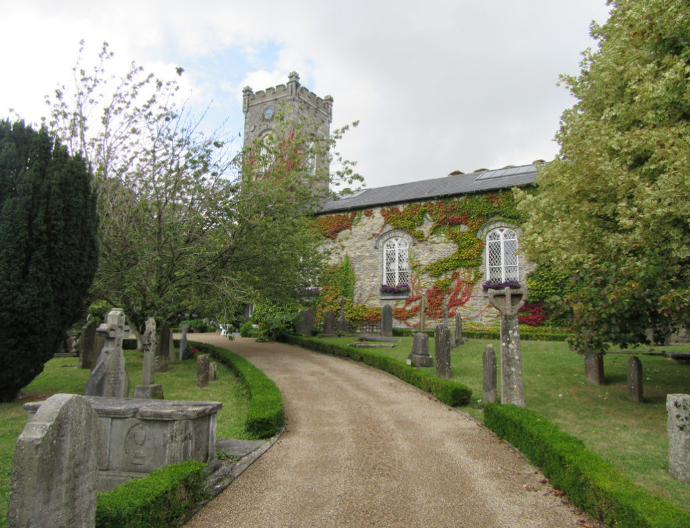 Church in BallyconraChurch · 1233 yd
 Anker's IslandIsland · 1243 yd
 Church (in ruins)Church · 1677 yd
 Donaghmore WellSpring · 3.1 mi
 1798 MonumentMemorial · 5.2 mi
 Common LimeCommon Lime · 5.4 mi
 Street fieldArchaeological place · 6.2 mi
 DelaneyMemorial · 8.7 mi