What is recorded here
Enclosure in Ballynaslee is a 30m circular cut on the western crest above the Nore valley, its shallow bank marking a terrace rather than a proud rampart. The eastern land drops steeply into grassland while the western land stays flat, giving the site a one-sided view and a hidden bowl beneath field level. It may have been a dwelling, a boundary marker or a quarry for the nearby lime kiln, but its shape still separates human intention from ordinary hillside.
Just at crest of hills forming the W side of the Nore river valley, in grassland. Land to the W is flat while land to the E slopes steeply down to the valley floor. Circular area (diam. 30m) enclosed by bank (int. H 0.4-0.5m; ext. H 0.2m; Wth 1-2m). The interior of the site is below the surrounding field-level. The monument is depicted as typical ringfort on the 1st (1839) ed. OS 6-inch map. On the revised 1899 ed. the hachures depicting the monument are facing inward suggesting a large circular hollow. A lime kiln is indicated on the 1st ed. map immediately ENE of the monument and it is possible that the interior of the monument was quarried into. The enclosure was formed by cutting a terrace into the hillside.
Compiled by: Jean Farrelly
Date of upload: 2 February 2016
The monument record does not grant public access. Check the route and ask the landowner before entering private land.
- What survives
- Recorded monument
Places near here
 Seskin North RingfortArchaeological place · 306 yd
 IndicatedEnclosure · 325 yd
 CastleCastle, unclassified · 862 yd
 Mountgarret Castle (in ruins)Castle, unclassified · 1233 yd
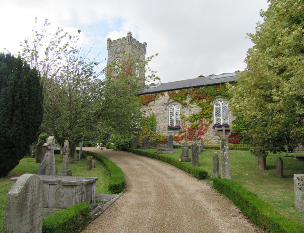 Church in BallyconraChurch · 1287 yd
 Anker's IslandIsland · 1297 yd
 Church (in ruins)Church · 1662 yd
 Graveyard in SraleaghGraveyard · 2.3 mi
 Donaghmore WellSpring · 3.1 mi
 1798 MonumentMemorial · 5.2 mi
 Common LimeCommon Lime · 5.4 mi
 Street fieldArchaeological place · 6.1 mi