What is recorded here
Situated on a low natural hillock on a N-S ridge with good views of undulating countryside. Rock of Curry and Hill of Mael visible to the NE & ENE respectively. A large sub-circular area (approx. diam. 57m N-S; 51m E-W) enclosed by an earthen bank with traces of an external fosse visible only from E-SE. No clear entrance feature visible. Several gaps in the bank all of which appear to modern in appearance. The enclosing bank is best preserved from SE-E-SW. Evidence of intern stone facing of bank at W and N. The interior slopes from the centre to the E. Old cultivation ridges can be seen running E-W across the interior of the monument. Well preserved cultivation ridges and small field system of uncertain antiquity can be seen immediately N and NW of ringfort. This field system is clearly visible on Digital Globe aerial photographs taken November 2011.
Compiled by: Frank Coyne & Caimin O'Brien
Date of upload: 3 January 2017
The monument record does not grant public access. Check the route and ask the landowner before entering private land.
- What survives
- Recorded monument
Places near here
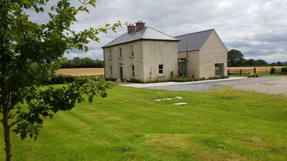
 Ballynameagh Househouse · 418 yd
 Enclosure in BallynameaghEnclosure · 589 yd
 IndicatedFairy fort / earthen ringfort · 1050 yd
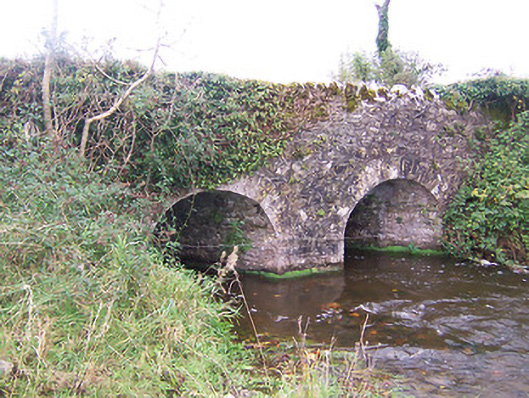 bridgebridge · 1458 yd
 TowerCastle, tower house · 1673 yd
 Turbotstown Ho.Castle, unclassified · 1.1 mi
 Rock of CurryCliff · 1.3 mi
 European ashEuropean ash · 2.2 mi
 Pedunculate OakPedunculate Oak · 2.4 mi
 Mullaghmeen White WalkWalking route · 3.7 mi
 Mullaghmeen ForestPicnic place · 3.7 mi
 Mullaghmeen Red WalkWalking route · 3.8 mi