What is recorded here
A low squat building is shown in this townland on an early 17th-century map of the barony of Granard (BL, Cotton MS Augustus I.i.47), near the N bank of the Rhine River close to the boundary with Coolcor to the NW. Its precise location has not been identified.
Compiled by: Caimin O'Brien
Date of upload: 15 June 2012
The monument record does not grant public access. Check the route and ask the landowner before entering private land.
- What survives
- Recorded monument
Places near here
 Lismacaffry FortFairy fort / earthen ringfort · 390 yd
 Water millWater mill, unclassified · 718 yd
 BarrowBarrow, ring-barrow · 766 yd
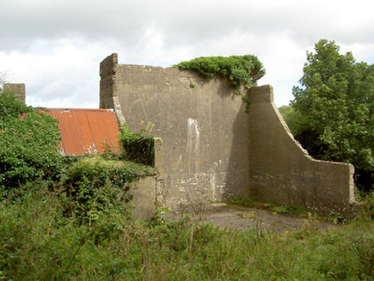 handball alleyhandball alley · 1344 yd
 BawnBawn · 1.0 mi
 Cloonfin WoodForest · 1.8 mi
 Clonfin Ambush MemorialMemorial · 1.9 mi
 Granard MotteMotte-and-bailey castle remains · 2.0 mi
 Moat of GranardCastle, motte and bailey · 2.0 mi
 1798 Monumentmonument · 2.1 mi
 InchmoreIslet · 3.1 mi
 Derrycassan WoodsWood · 3.3 mi