
What is recorded here
On a low knoll in pasture. Depicted as a circular enclosure with the designation 'Fort' on the 1837 ed. of the OS 6-inch map. A raised circular area (diam. at base 15.5m) enclosed from SW-N-SE by a low bank of earth and stone (Wth 2.9-4.2m; H 0.7m) with a shallow internal fosse (Wth 3.6-4.4m; D 0.8m). Elsewhere the monument is cut by a trackway and no trace of it is visible at ground level.
Compiled by: Patrick F. O'Donovan
Date of upload: 26 August 2011
A Neolithic ring-barrow; significant as a rare funerary monument type in the region, often associated with early ceremonial or burial practices.
The monument record does not grant public access. Check the route and ask the landowner before entering private land.
- What survives
- Recorded monument
Places near here
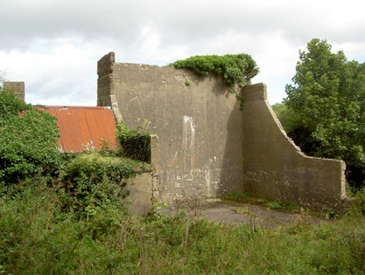 handball alleyhandball alley · 926 yd
 Lismacaffry FortFairy fort / earthen ringfort · 1007 yd
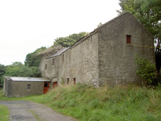 Millbrookmill (water) · 1241 yd
 Enclosure in RathcorEnclosure · 1243 yd
 BawnBawn · 1.5 mi
 CastleCastle, unclassified · 1.7 mi
 Granard MotteMotte-and-bailey castle remains · 1.7 mi
 1798 Monumentmonument · 1.7 mi
 Clonfin Ambush MemorialMemorial · 2.0 mi
 Cloonfin WoodForest · 2.2 mi
 InchmoreIslet · 3.4 mi
 Derrycassan WoodsWood · 3.5 mi
Other information
Photo: Credit not shown in the picture search · Rights wording not checked; contact us if this picture should be removed