What is recorded here
Fairy fort / earthen ringfort in Ballymanus is a fairy fort or earthen ringfort in Ballymanus, County Westmeath, Ireland. This roughly circular area, approximately 38 metres in diameter from north to south, is defined by an earth and stone bank and a shallow external fosse. Traces of a possible external bank are visible only at the east and southwest, while a possible entrance gap 1.8 metres wide is located at the south-southeast. The site sits on a slight but prominent natural rise, with grass-covered wall footings of a rectangular house visible in the south quadrant.
Situated on top of a slight but prominent natural rise, ringfort (WM003-025----) 140m to NNW, church site (WM003-006---) 160m to SSW. A roughly circular-shaped area (approx. diam. 38m N-S) defined by an earth and stone bank, shallow external fosse with traces of a possible external bank visible at E and SW only. Possible entrance gap (Wth 1.8m) at SSE. The grass-covered wall footings of a rectangular house site (WM003-026001-) are visible in S quadrant. A series of low earthen banks to the E and W of the ringfort probably represent an ancient field system (WM003-026002-) contemporaneous with the monument.
Compiled by: Frank Coyne & Caimin O'Brien
Date of upload: 22 December 2016
The monument record does not grant public access. Check the route and ask the landowner before entering private land.
- What survives
- Recorded monument
Places near here
 Hut site in BallymanusHut site · 9 yd
 Field system in BallymanusField system · 49 yd
 Ballycomoyle National Schoolschool · 859 yd
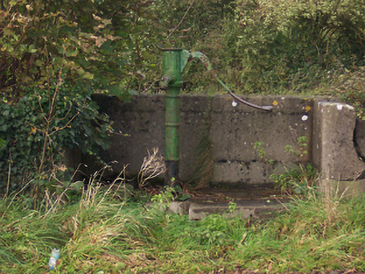 water pumpwater pump · 1061 yd
 Hilltown Castle (in ruins)Castle, tower house · 1711 yd
 Mullaghmeen ForestPicnic place · 1.5 mi
 Hachured, dotted outlineCastle, motte and bailey · 1.5 mi
 Mullaghmeen Red WalkWalking route · 1.8 mi
 Rock of CurryCliff · 2.1 mi
 European ashEuropean ash · 2.8 mi
 Silver FirSilver Fir · 3.4 mi
 Seafin HillMountain / peak · 4.6 mi