
What is recorded here
Indicated is a 57-metre-wide mound on Tallaght hill, still standing beside rough pasture and a nearby stone circle. It appeared on the 1843 Ordnance Survey map, meaning people recognised its shape long before modern tools measured it. Ploughing cut close to its west edge in 1995, proving the land around it remained lively and uncertain. The mound may be partly natural, but it became a landmark because people kept returning to it, marking it, and leaving it standing above the hill.
Situated in open rough pasture on top of Tallaght hill. A circular mound (diam 57m, H 9m) shown as an earthwork on the 1843 OS 6-inch map. This is a distinctive landmark on the hill and is probably partly natural. It lies close to a mound with a stone circle (DU024-028----). In 1995 ploughing on the hill skirted the W side of the monument.
Compiled by: Geraldine Stout and Padraig Clancy
Revised upload on: 7 July 2018
A Neolithic passage tomb; possibly part natural. Its significance lies in being a prominent and early recorded earthwork feature in the Tallaght hill landscape.
The monument record does not grant public access. Check the route and ask the landowner before entering private land.
- What survives
- Recorded monument
Places near here
 Stone CircleCairn, unclassified · 85 yd
 Hut site in Ballinascorney UpperHut site · 732 yd
 KnackannaveaMountain / peak · 742 yd
 Graveyard in BallymanaGraveyard · 1489 yd
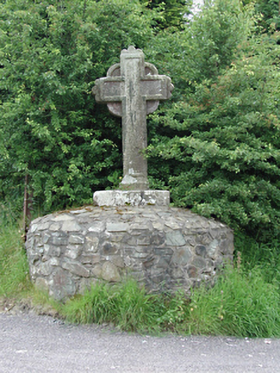 monumentmonument · 1511 yd
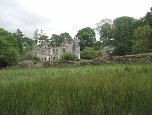 Ballinascorney Househunting/fishing lodge · 1.1 mi
 SlievenabawnogeMountain / peak · 1.2 mi
 Ballinascorney WoodForest · 1.2 mi
 Sean Walsh ParkVisitor information · 2.3 mi
 CastleCastle, tower house · 2.5 mi
 Saint Ann's WellSpring · 2.6 mi
 Rathcoole WoodlandWood · 2.9 mi
Other information
Photo: Credit not shown in the picture search · Rights wording not checked; contact us if this picture should be removed