
What is recorded here
Situated on the lower S facing slopes of Ballinascorney Commons. A hut site noted on an aerial photograph taken in 1971 (FSI 3.677/6). The site is a waterlogged pasture and there are no visible surface remains. A drain had been cut through the site.
Compiled by: Geraldine Stout and Padraig Clancy
Revised upload on: 7 July 2018
The monument record does not grant public access. Check the route and ask the landowner before entering private land.
- What survives
- Recorded monument
Places near here
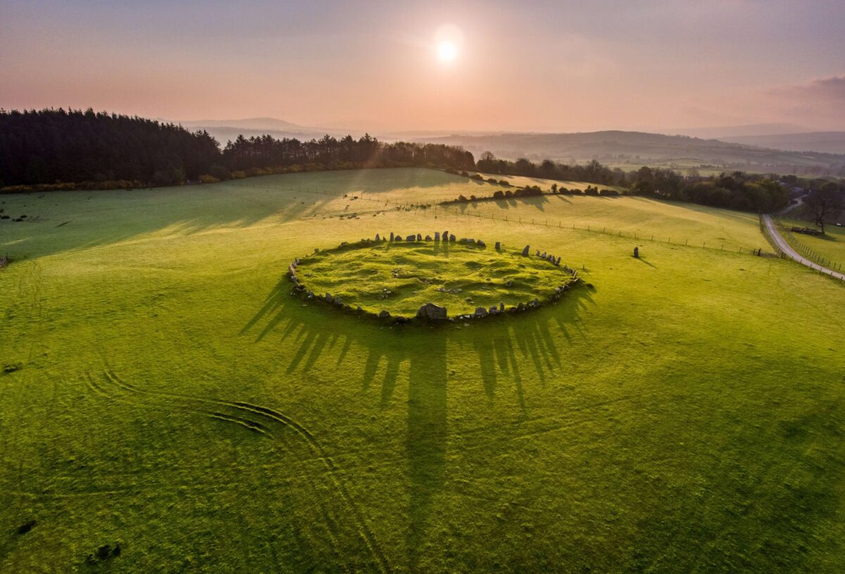 Stone CirclePassage tomb · 397 yd
 BarrowBarrow, unclassified · 398 yd
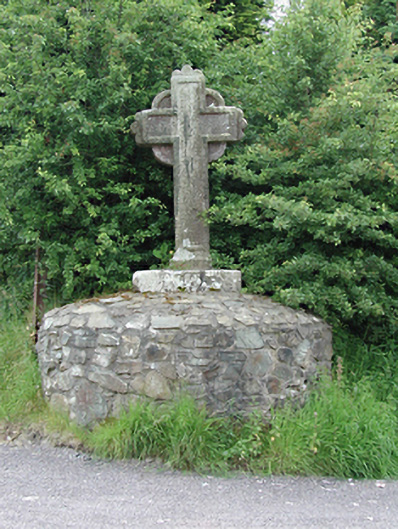 monumentmonument · 784 yd
 KnackannaveaMountain / peak · 1127 yd
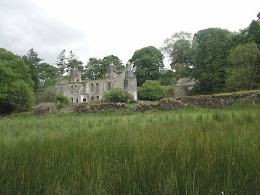 Ballinascorney Househunting/fishing lodge · 1281 yd
 SlievenabawnogeMountain / peak · 1389 yd
 Ballinascorney WoodForest · 1433 yd
 Graveyard in BallymanaGraveyard · 1.0 mi
 Saint Ann's WellSpring · 2.2 mi
 Saint Ann's GraveyardRuins · 2.2 mi
 Carty's CastleRuins · 2.5 mi
 Waterfall viewing pointHeritage attraction · 2.6 mi
Other information
Photo: Credit not shown in the picture search · Rights wording not checked; contact us if this picture should be removed