What is recorded here
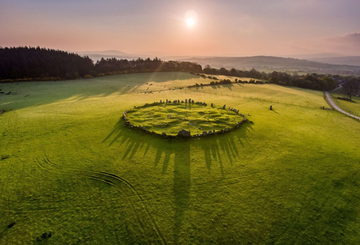
The monument stands within a modern conifer plantation on a terrace on the E side of Knockannavea hill. A passage tomb consisting of an incomplete circle of kerb-like boulders enclosing an area approximately 8m in diameter. At the centre is a hollow in which are exposed four stones, probably the remains of a burial chamber. These stones may probably be identified with those mentioned by McDix as forming part of a ‘smaller inner circle’ (McDix 1925, 126). Four boulders along the SE side were displaced in 1986 in the course of forestry work. This area was excavated in 1988 and the stones replaced in their original positions. No finds were recovered (Healy 1988). The monument appears to represent the denuded remains of a probable passage tomb. (Herity 1974, 123).I t was named ‘Cromlech’ on the first edition of the OS 6-inch map: this was changed to ‘Stone Circle’ on the 1937 edition.
Compiled by: Paul Walsh and Padraig Clancy
Revised upload on: 7 July 2018
A Neolithic stone circle and passage tomb; dates to the early Bronze Age transition. Its partial survival offers insight into ritual and burial practices in the region.
The monument record does not grant public access. Check the route and ask the landowner before entering private land.
- What survives
- Recorded monument
Places near here
 BarrowBarrow, unclassified · 204 yd
 Hut site in Ballinascorney UpperHut site · 397 yd
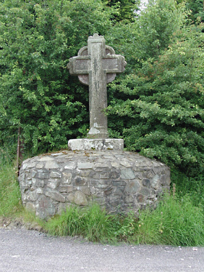 monumentmonument · 1046 yd
 KnackannaveaMountain / peak · 1196 yd
 Graveyard in BallymanaGraveyard · 1384 yd
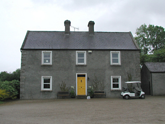 Hawthornfarm house · 1501 yd
 SlievenabawnogeMountain / peak · 1582 yd
 Ballinascorney WoodForest · 1630 yd
 Saint Ann's WellSpring · 2.3 mi
 Saint Ann's GraveyardRuins · 2.3 mi
 Carty's CastleRuins · 2.4 mi
 Waterfall viewing pointHeritage attraction · 2.4 mi
Other information
Photo: Credit not shown in the picture search · Rights wording not checked; contact us if this picture should be removed