What is recorded here
Fairy fort / ringfort in Ballymaghery is a fairy fort or ringfort in Ballymaghery, County Westmeath, Ireland. The 1838 Ordnance Survey fair plan map depicts the site as a roughly circular shaped enclosure annotated as a fort, while the 1838 edition Ordnance Survey six-inch map shows it as a circular shaped earthwork. The monument sits on a low rise of ground in grassland, though no surface remains are visible.
Depicted on the 1838 Ordnance Survey fair plan map as a roughly circular shaped enclosure annotated as a ‘fort’. Depicted as a circular shaped earthwork on the 1838 ed. OS 6-inch map. Situated on a low rise of ground in grassland. No surface remains visible.
Compiled by: Frank Coyne and Caimin O'Brien
Date of upload: 13 July 2018
The monument record does not grant public access. Check the route and ask the landowner before entering private land.
- What survives
- Recorded monument
Places near here
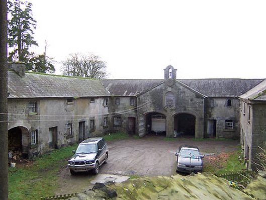 Rockview Housestables · 771 yd
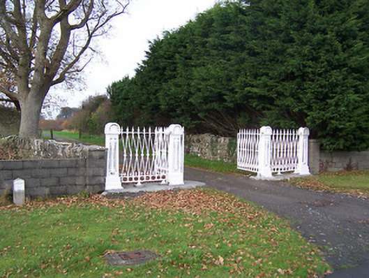 Dysart Housedemesne walls/gates/railings · 872 yd
 CastleCastle, unclassified · 985 yd
 OutlinedFairy fort / earthen ringfort · 1233 yd
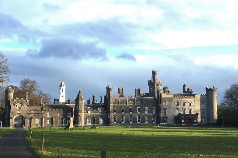 Mulchans Castle in ruinsCastle, tower house · 1434 yd
 Tober LuibeHoly well · 1464 yd
 GinkgoGinkgo · 1.6 mi
 ScregganWood · 4.7 mi
 Kells HillMountain / peak · 7.4 mi
 Seafin HillMountain / peak · 8.4 mi
 Croppies' GraveMemorial · 11 mi
 DardistownCastle, unclassified · 1641 yd