What is recorded here
Indicated is a fairy fort in County Cork, Ireland. It is a circular earthen ringfort in nearly level pasture, enclosed by a bank and shallow outside ditch. People may have lived there, feared the fairies, or simply avoided disturbing the completed shape of the ground.
In nearly level pasture rising gently to WNW. Circular area (31m NE-SW; 31.5m NW-SE) enclosed by earthen bank (H 1.9m) NW->ESE; low earthen bank (H 0.7m) topped by stone wall ESE->NW; external fosse (D 0.8m) to SSW.
The above description is derived from the published 'Archaeological Inventory of County Cork. Volume 1: West Cork' (Dublin: Stationery Office, 1992). In certain instances the entries have been revised and updated in the light of recent research.
Date of upload/revision: 14 January 2009
The monument record does not grant public access. Check the route and ask the landowner before entering private land.
- What survives
- Recorded monument
Places near here
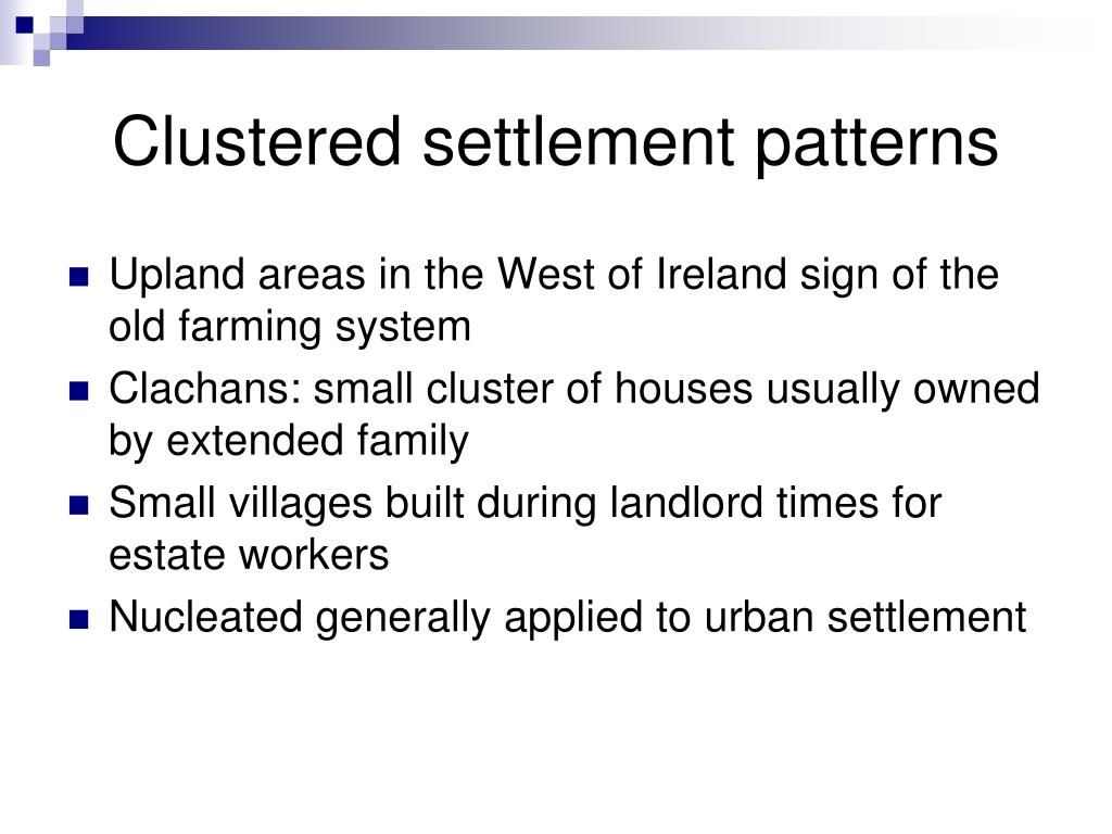 Settlement cluster in BallymacshoneenSettlement cluster · 456 yd
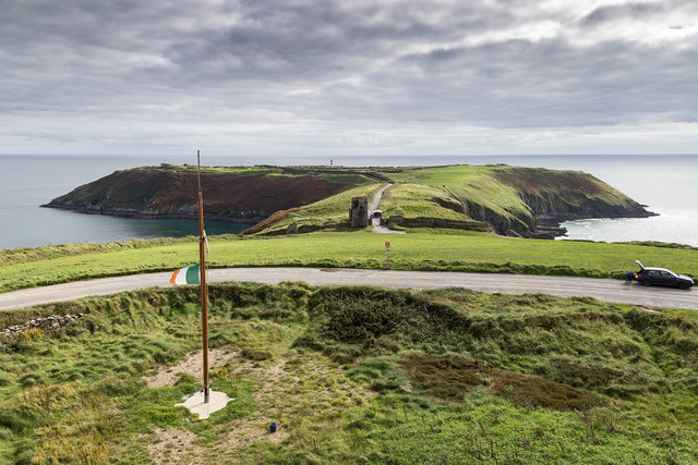 Signal Tower ViewViewpoint · 753 yd
 Burial Gd (Disused)Burial ground · 915 yd
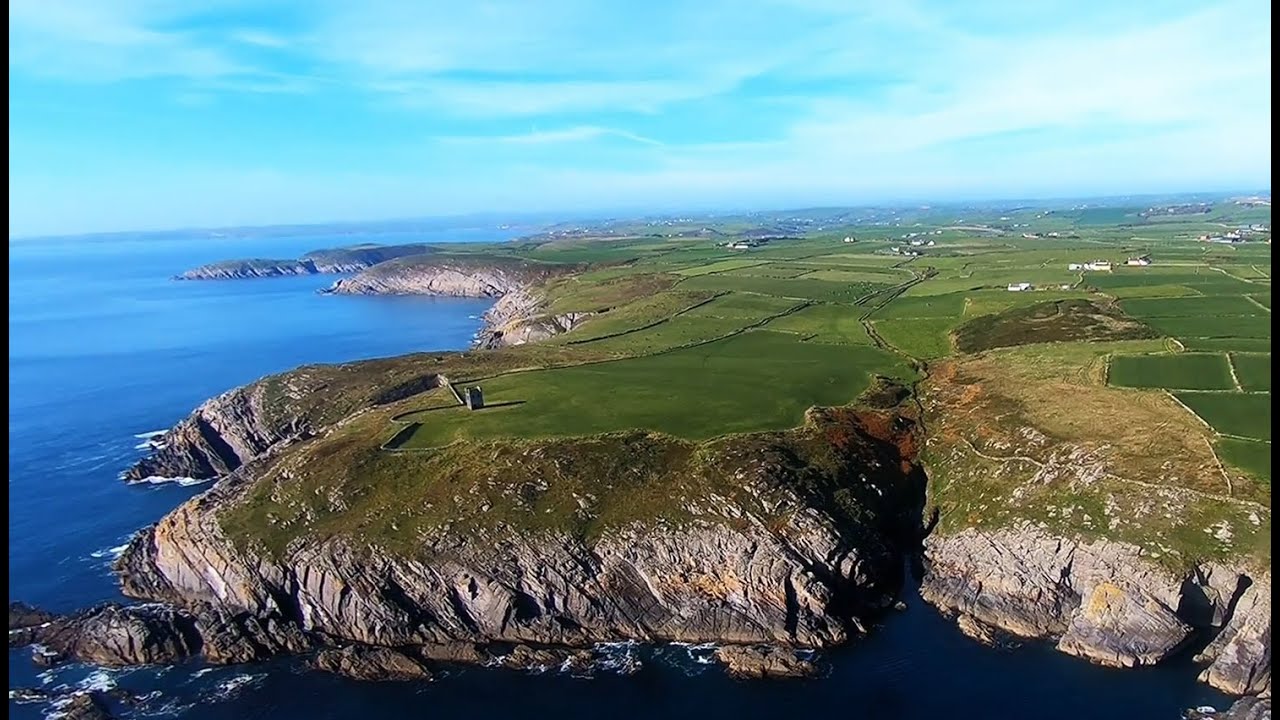 Seven Heads PeninsulaViewpoint · 918 yd
 signal towersignal tower · 954 yd
 Balllylangy Housecountry house · 1758 yd
 Dunworly CastleCastle · 1.5 mi
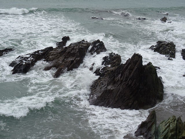 Dunworly BeachBeach / strand · 1.5 mi
 Dunworly PointHeadland · 1.5 mi
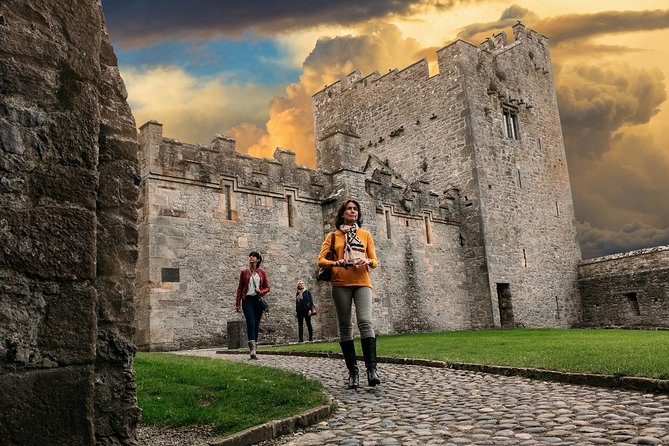 Rock Castle (in Ruins)Castle, tower house · 2.2 mi
 HDS walk Coolim CliffsHeritage attraction · 2.3 mi
 Blind StrandBeach / strand · 2.5 mi