
What is recorded here
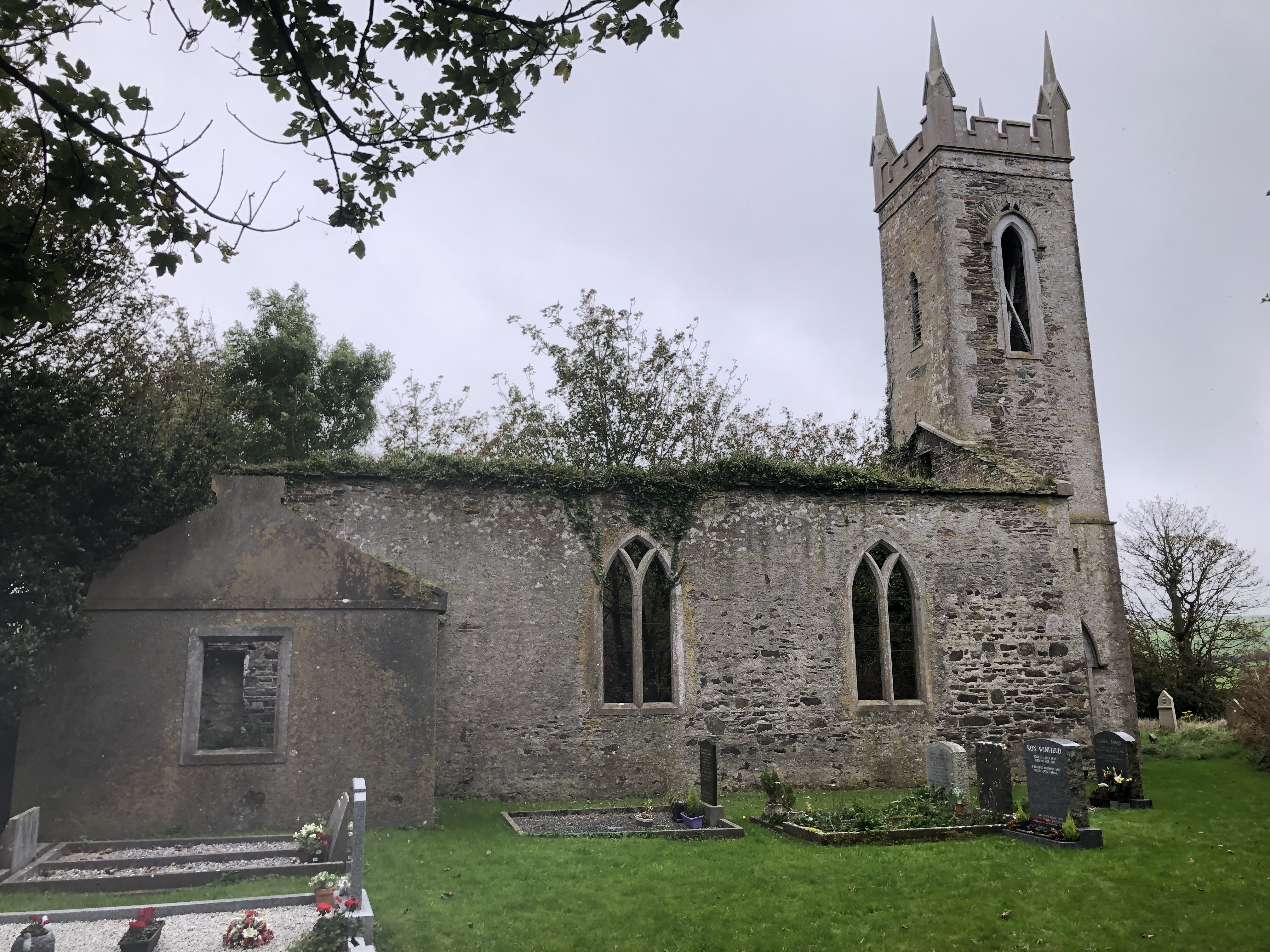
In pasture with good southerly aspect. Raised circular area (H 0.4m; diam. 5m) with 10 grave markers in interior.
The above description is derived from the published 'Archaeological Inventory of County Cork. Volume 1: West Cork' (Dublin: Stationery Office, 1992). In certain instances the entries have been revised and updated in the light of recent research.
Date of upload/revision: 14 January 2009
Neolithic passage tomb; dates to the 4th–3rd millennium BCE. Its raised circular form and multiple grave markers suggest a communal burial function, typical of early Irish megalithic traditions.
The monument record does not grant public access. Check the route and ask the landowner before entering private land.
- What survives
- Recorded monument
Places near here
 Kill Burial Gd for ChildrenBurial ground · 566 yd
 IndicatedQuarry · 616 yd
 Settlement cluster in BallymacshoneenSettlement cluster · 729 yd
 Country house in BallylangyCountry house · 1018 yd
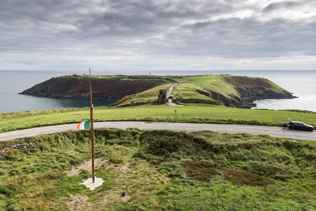 Signal Tower ViewViewpoint · 1649 yd
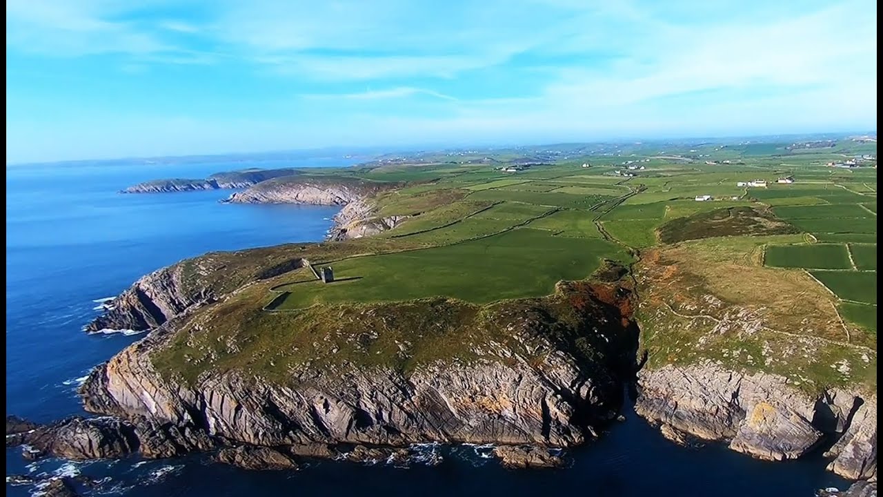 Seven Heads PeninsulaViewpoint · 1713 yd
 HDS walk Coolim CliffsHeritage attraction · 1.8 mi
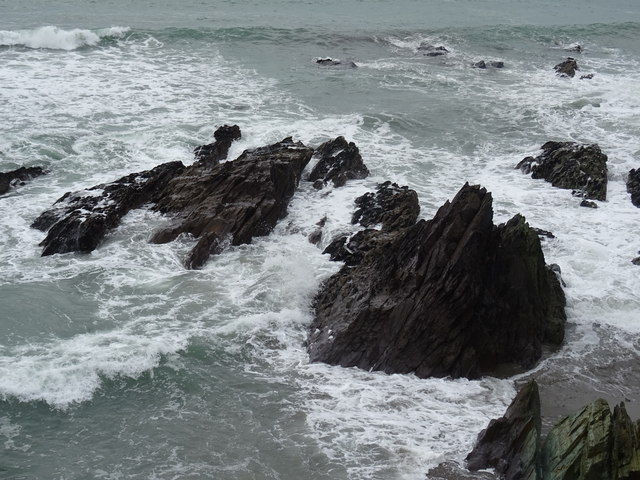 Dunworly BeachBeach / strand · 1.8 mi
 Lislee Court (Site of)Castle, unclassified · 1.9 mi
 Dunworly CastleCastle · 1.9 mi
 Blind StrandBeach / strand · 2.0 mi
 Dunworly PointHeadland · 2.0 mi
Other information
Photo: Credit not shown in the picture search · Rights wording not checked; contact us if this picture should be removed