What is recorded here
Situated on a hillock (357ft/109m OD) at the end of a ridge, in pasture, with wide views of the surrounding landscape to E, S and W. Depicted on the revised 1910 ed. OS 25-inch map as a roughly oval-shaped earthwork (approx. dims. 56m E-W; 48m N-S). Monument described in 1973 as a fairly large suboval-shaped area enclosed by a bank and external fosse. The bank is low and an irregular fosse is visible from SE-S-SW. The N portion of the monument is badly overgrown making inspection difficult. Monument described in 1982 as having been levelled out in the course of land works. The bank survives as a light band of clay. A shallow fosse could still be seen at the base of the slope from SE-W-WNW. This has been filled in with hardcore and used as a field-drain. There appears to have been an entrance at N. The interior has been deep-ploughed, although there are no immediate signs of any habitation material. Monument is visible today as a roughly oval-shaped tree-lined earthwork on Digital Globe aerial photography.
Compiled by Alison McQueen, Vera Rahilly and Caimin O’Brien.
Date of upload: 16 December 2019
A fairy fort, likely an early-medieval ringfort, situated on a prominent hillock with extensive views, reflecting strategic settlement patterns of the period. Local folklore may associate the site with supernatural or fairy activity, as suggested by its traditional name.
The monument record does not grant public access. Check the route and ask the landowner before entering private land.
- What survives
- Recorded monument
Places near here
 IndicatedBuilding · 534 yd
 St. Davids WellHoly well · 1548 yd
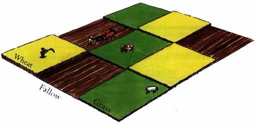 Field system in BallinlabanField system · 1.1 mi
 Coola Bridgebridge · 1.2 mi
 Killalea FortCastle, motte · 1.7 mi
 Balrath CastleCastle · 1.7 mi
 Bonfire HillMountain / peak · 3.4 mi
 Kilmalady HillMountain / peak · 3.5 mi
 Ardan WoodWood · 3.9 mi
 High WoodWood · 4.0 mi
 St. Columba's WellSpring · 4.4 mi
 Clara Bog BoardwalkHeritage attraction · 6.7 mi