What is recorded here
Half a kilometre from the last house, a shallow ring of earth rises above the grass like a breath held under skin. The fort has no gate, no ditch, no shadow at noon, yet every animal in Ballymacad will circle it once before drinking. In 1836 a surveyor drew it in gothic ink and called it a Fort, as if naming the shape would force it to answer. Perhaps it is a chamber waiting for a living witness, and the absence of a door is simply patience.
Located on a rise in a low-lying landscape. A circular embanked enclosure (ext. diam. c. 25-30m) is depicted only on the 1836 edition of the OS 6-inch map where it is described in gothic lettering as a ‘Fort’. This is a slightly raised circular and grass-covered area (diam. c. 33.5m E-W; 31m N-S) defined by a scarp (at S: Wth 2.2m; H 0.9m). There is no visible fosse or identifiable original entrance.
The above description is derived from the published 'Archaeological Inventory of County Meath' (Dublin: Stationery Office, 1987). In certain instances the entries have been revised and updated in the light of recent research.
Compiled by: Michael Moore
Date of revision: 31 October 2018
The monument record does not grant public access. Check the route and ask the landowner before entering private land.
- What survives
- Recorded monument
Places near here
 EnclosureEnclosure, large enclosure · 500 yd
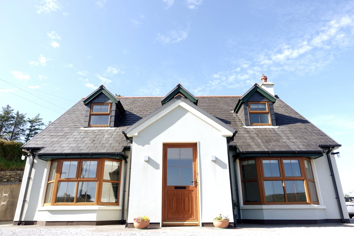 LissardFairy fort / earthen ringfort · 713 yd
 CastleCastle, unclassified · 1208 yd
 IndicatedCastle, motte and bailey · 1238 yd
 mill (water)mill (water) · 1.0 mi
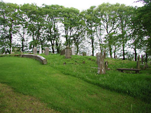 graveyard/cemeterygraveyard/cemetery · 1.0 mi
 European BeechEuropean Beech · 1.0 mi
 Mullaghmeen ForestPicnic place · 1.8 mi
 Mount FortuneMountain / peak · 2.7 mi
 Memorial CrossMemorial · 3.0 mi
 Zip WireHeritage attraction · 3.5 mi
 European YewEuropean Yew · 3.6 mi