
What is recorded here
Located at the crest of the S-facing slope of a NW-SE ridge. Circular grass-covered area (diam. 27m N-S; 25m E-W) defined by an earthen bank (Wth 3-3.5m; int. H 0.7m; ext. H 1.3m at N to 1.8m at S (downslope)) NNW-ENE and SSE-WSW, a curved stone field wall WSW-NNW and a scarp at E. There is no visible fosse or entrance. It is conjoined with, but later than, rath (WA031-004002-), which is immediately to the E.
The above description is derived from the published 'Archaeological Inventory of County Waterford' (Dublin: Stationery Office, 1999). In certain instances the entries have been revised and updated in the light of recent research.
Compiled by: Michael Moore. Date of upload: 25th August, 2011.
The monument record does not grant public access. Check the route and ask the landowner before entering private land.
- What survives
- Recorded monument
Places near here
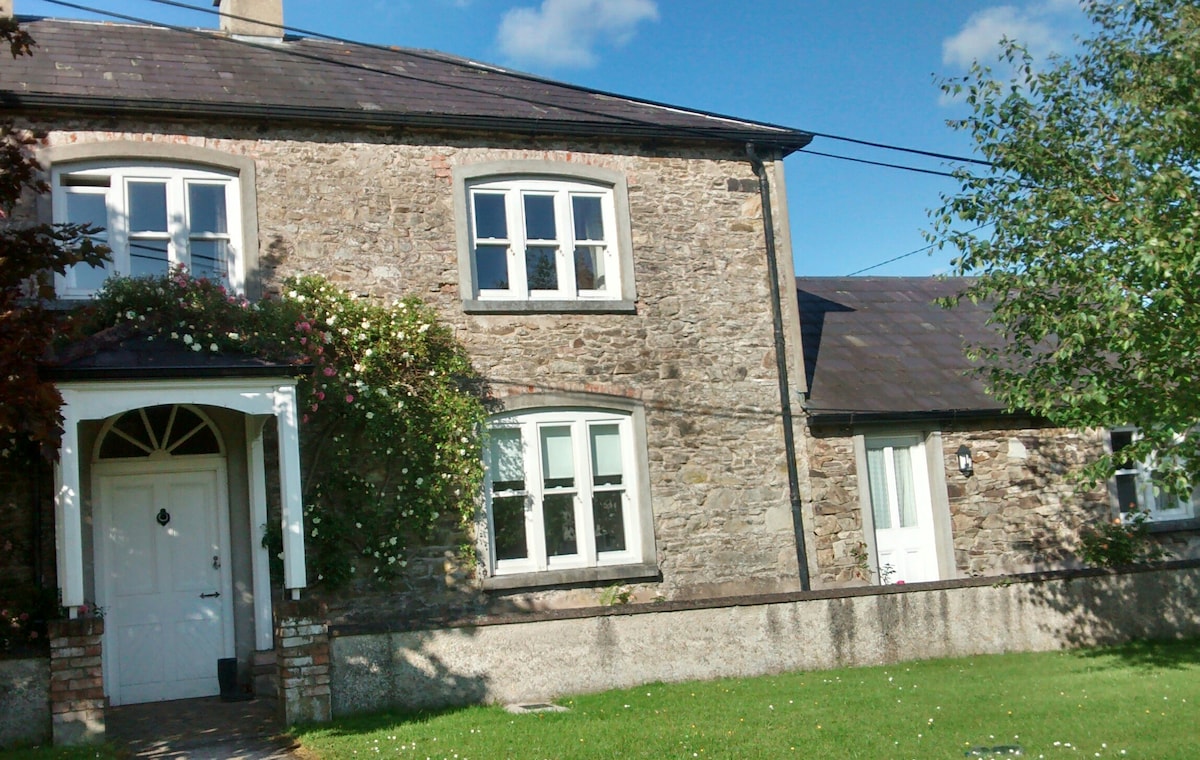 Embanked enclosureFairy fort / ringfort · 391 yd
 Man-made underground passage in Ballyknock LowerMan-made underground passage · 451 yd
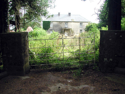 Castlequarter Househouse · 669 yd
 Castle (in ruins)Castle, tower house · 999 yd
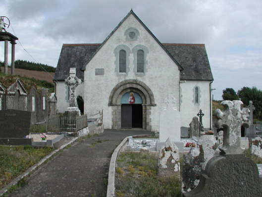 Saint Gobnait's Catholic Churchchurch/chapel · 1321 yd
 Horse-chestnutHorse-chestnut · 2.0 mi
 Master McGrathMemorial · 2.2 mi
 CrohaunMountain / peak · 2.4 mi
 CastleCastle, motte · 2.7 mi
 Grattan SquareVisitor information · 2.8 mi
 Dungarvan CastleCastle · 2.9 mi
 Dungarvan World War I MemorialMemorial · 2.9 mi
Other information
Photo: Credit not shown in the picture search · Rights wording not checked; contact us if this picture should be removed