
What is recorded here
Hut site in Ballykisteen is a hut site in Ballykisteen, County Tipperary, Ireland. The account records it centrally within a ringfort that had good views in all directions. It appeared as a hachured circular area about 8 metres across at the centre of that ringfort on the 1843 edition of the Ordnance Survey 6-inch map. The account also records that it had been levelled and was not visible at ground level.
Located centrally within a ringfort (TS058-054----) from which there are good views in all directions. Shown as a hachured circular area (diam. c. 8m) at the centre of the ringfort on the 1843 ed. of the OS 6-inch map and partially hachured on the latest ed. and identified previously as a hut site (OPW correspondence). It has been levelled and is not visible at ground level.
Compiled by: Jean Farrelly
Date of upload: 26 August 2011
The monument record does not grant public access. Check the route and ask the landowner before entering private land.
- What survives
- Recorded monument
Places near here
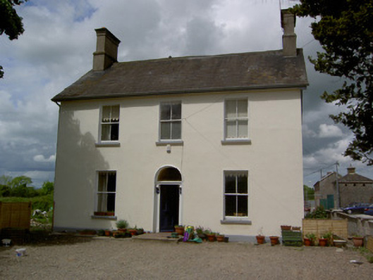 Limerick Junction Railway Stationstation master's house · 688 yd
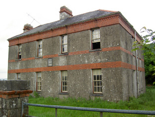 Victoria Houseoffice · 816 yd
 Enclosure in MonatogherEnclosure · 968 yd
 Enclosure in Barronstown (laffan),barronstown (ormond), (tipperary Par.)Enclosure · 1393 yd
 Soloheadbeg Ambush SiteMemorial · 2.1 mi
 Mutton Pie HillCastle, motte · 2.1 mi
 Site of CastleCastle, unclassified · 2.1 mi
 The Maid of ErinMemorial · 2.6 mi
 Oola HillMountain / peak · 2.8 mi
 European ashEuropean ash · 4.7 mi
 The RockViewpoint · 4.7 mi
 Bansha ForestForest · 4.8 mi
Other information
Photo: Credit not shown in the picture search · Rights wording not checked; contact us if this picture should be removed