What is recorded here
Fairy fort / earthen ringfort in Ballyhusty is a fairy fort or earthen ringfort in Ballyhusty, County Tipperary, Ireland. It occupies a low hillock in pasture and forms a raised circular area measuring about 41 metres north to south and 42 metres east to west. An earthen scarp about 1.8 metres high defines the edge, while the interior slopes gently down to a level central area. A possible entrance 2.5 metres wide faces northwest, and traces of an external ditch 6 metres wide and 0.45 metres deep run north-northwest to east to southwest.
In pasture, on low hillock. Raised circular area (dims c. 41m N-S; c. 42m E-W) defined by earthen scarp (H c. 1.8m). Possible entrance at NW (Wth 2.5m). Traces of external fosse (Wth c. 6m; D c. 0.45m) NNW-E-SW. Interior slopes down very gently from scarp to a level central area. Moated site (TS067-081----) located c. 800m to NW.
Compiled by: Jean Farrelly
Date of upload: 26 August 2011
The monument record does not grant public access. Check the route and ask the landowner before entering private land.
- What survives
- Recorded monument
Places near here
 European ashEuropean ash · 13 yd
 Ballyhusty FortFairy fort / earthen ringfort · 710 yd
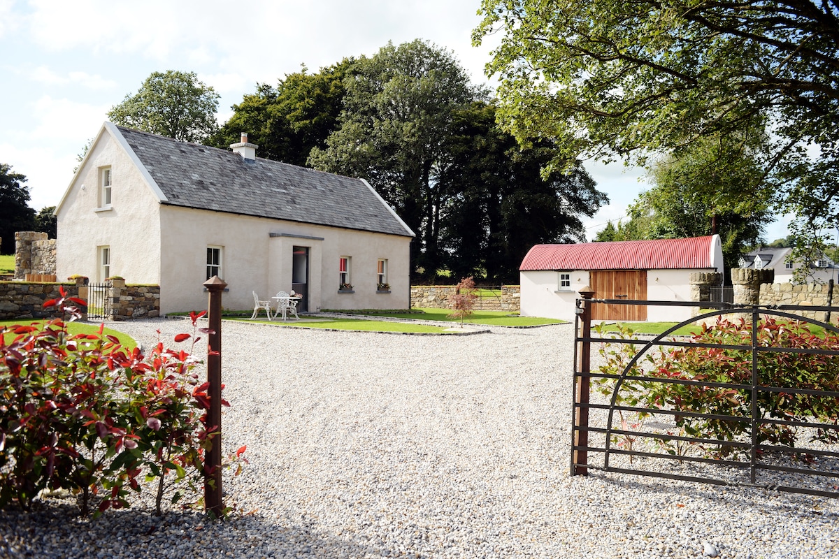 Enclosure in Ballyhusty,drumclieveEnclosure · 853 yd
 Dromline CastleCastle · 1539 yd
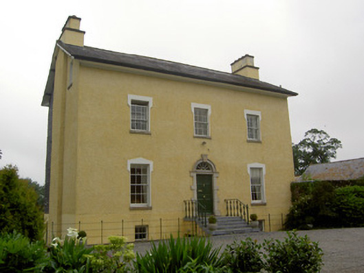 The Gleberectory/glebe/vicarage/curate's house · 1.1 mi
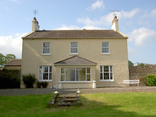 Knockballynoe Househouse · 1.2 mi
 Garranacanty MoatCastle, motte · 1.5 mi
 I.R.A. 3rd. Tipperary Brigade MemorialMemorial · 1.9 mi
 It's a long way to TippereryHeritage attraction · 2.6 mi
 The Maid of ErinMemorial · 2.7 mi
 The RockViewpoint · 3.9 mi
 Christ the KingViewpoint · 4.6 mi