What is recorded here
Toberkeagh is a disused spring well in County Galway, Ireland, named on maps from 1838 and 1920. It sits in a hollow of rough pasture, enclosed by a low drystone wall with nine steps descending to the water. Two modern cattle troughs lie beside it, suggesting the well still serves local animals rather than human ritual. No holy claims attach to it, only the quiet fact that water still rises where stone was set long ago.
In a hollow in rough pasture and scrub. Named ‘Toberkeagh’ in Gothic script on the 1838 and 1920 editions of the OS 6-inch maps, this disused spring well (diam. 1.6m; D 2.1m) is enclosed by a low circular drystone wall opening to the N, where nine stone steps provide access down to the water. Two modern cattle water troughs lie immediately to the W and N. There are no indications that this was ever considered to be a holy well.
Compiled by: Galway Archaeological Survey, UCG
Date of upload: 19 December 2022
The monument record does not grant public access. Check the route and ask the landowner before entering private land.
- What survives
- Recorded monument
Places near here
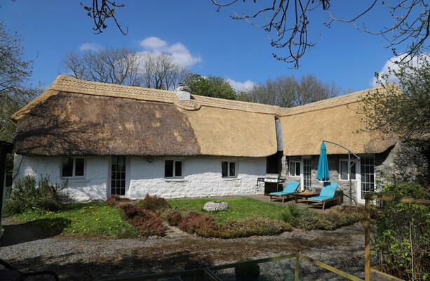 LisduffFairy fort / stone ringfort · 1237 yd
 CaherbulliginFairy fort / stone ringfort · 1296 yd
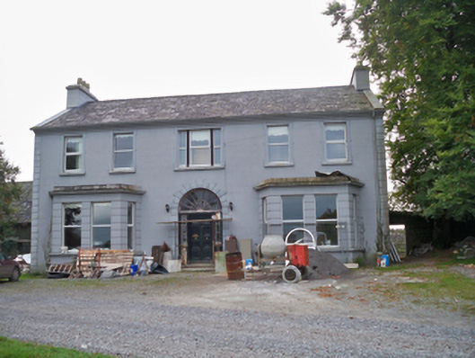 Lavallycountry house · 1471 yd
 Toberbrackan CastleCastle, unclassified · 1490 yd
 Laghtgal Monumentmonument · 1.1 mi
 Kilcornan WoodWood · 1.3 mi
 Castlegar (in ruins)Castle, unclassified · 1.7 mi
 Kilcornan ForestWood · 1.9 mi
 Drumacoo Monastic SiteHeritage attraction · 4.4 mi
 Athenry AbbeyHeritage attraction · 5.3 mi
 Goose IslandIslet · 7.6 mi
 InishcorraIslet · 7.8 mi