What is recorded here
Fairy fort / earthen ringfort in Ballygarran is a fairy fort or earthen ringfort in Ballygarran, County Westmeath, Ireland. The site occupies a slight rise in well drained pasture-land with wide views of the surrounding countryside. It comprises a circular area measuring thirty-three metres in diameter from east to west, enclosed by a well preserved earthen bank one metre high. This bank is overgrown with trees and scrub, has several disturbance gaps, and is accompanied by an external fosse that has been filled in at the southwest and deepened at the north and east to create a narrow berm.
Situated on a slight rise in well drained pasture-land with wide views of the surrounding countryside. Ringfort (WM006-018----) 140m to SE. A circular area (diam. 33m E-W) enclosed by a well preserved earthen bank (H 1m), overgrown with trees and scrub, with several disturbance gaps, and an external fosse. The fosse has been filled in at SW. At N & E the fosse has been deepened, creating a narrow berm between the bank and fosse. The interior slopes from NW-SE and has traces of cultivation ridges which run from NNE-WSW. A post 1700 field boundary intersects the site at S.
Compiled by: Frank Coyne & Caimin O'Brien
Date of upload: 26 January 2017
The monument record does not grant public access. Check the route and ask the landowner before entering private land.
- What survives
- Recorded monument
Places near here
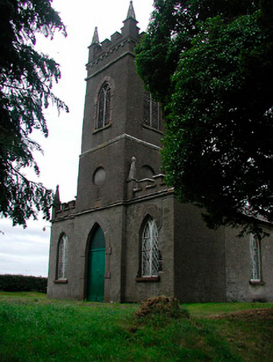 Saint Thomas's Church (Rathaspick)church/chapel · 522 yd
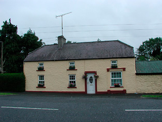 farm housefarm house · 641 yd
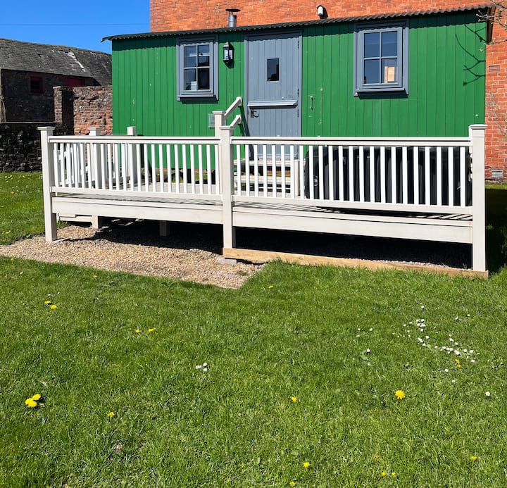 Hut site in ClonaboyHut site · 1369 yd
 OutlinedEnclosure · 1423 yd
 Silver FirSilver Fir · 1587 yd
 CastleCastle, motte · 1.1 mi
 Sweet ChestnutSweet Chestnut · 1.4 mi
 Site of CastleCastle, unclassified · 1.5 mi
 Edgeworthstown BypassMemorial · 4.1 mi
 Granard MotteMotte-and-bailey castle remains · 8.3 mi
 1798 Monumentmonument · 8.4 mi
 Bully's Acregraveyard/cemetery, unknown · 9.8 mi