What is recorded here
Situated on a slight natural rise on the SW edge of poorly drained peatland, with good views to the NW & SE. Higher well drained pasture-land to S, W and NW. The outline of a possible house site is visible in the centre of a ringfort (WM005-006----).
Compiled by: Frank Coyne & Caimin O'Brien
Date of upload: 13 December 2016
The monument record does not grant public access. Check the route and ask the landowner before entering private land.
- What survives
- Recorded monument
Places near here
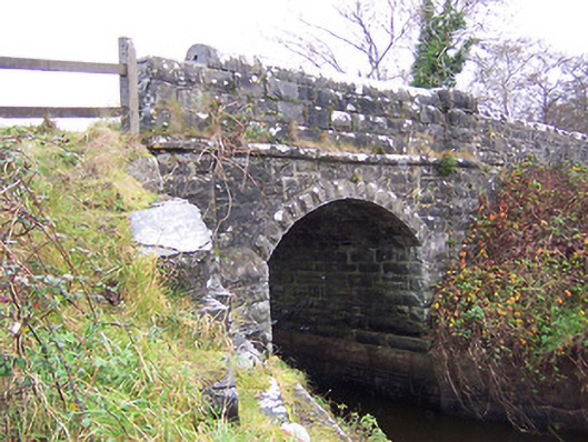 New Bridgebridge · 710 yd
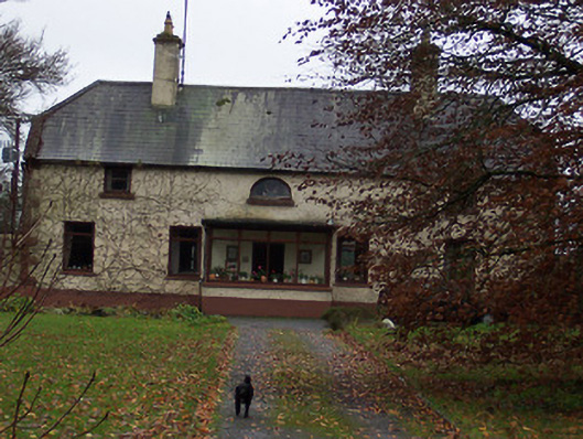 Derrydooan Househouse · 1024 yd
 Sweet ChestnutSweet Chestnut · 1174 yd
 Ecclesiastical enclosure in RathaspickEcclesiastical enclosure · 1311 yd
 Site of CastleCastle, unclassified · 1341 yd
 St. Dermots WellHoly well · 1366 yd
 Silver FirSilver Fir · 1555 yd
 CastleCastle, motte · 1.8 mi
 Edgeworthstown BypassMemorial · 4.1 mi
 Abbeyshrule AbbeyRuins · 6.7 mi
 Granard MotteMotte-and-bailey castle remains · 9.0 mi
 1798 Monumentmonument · 9.0 mi
Other information
Photo: Credit not shown in the picture search · Rights wording not checked; contact us if this picture should be removed