What is recorded here
'Situated in two large amalgamated fields on a gently north-south sloping hillside, which affords good views to the east, west and south, where the mountains of the Slieve Mish dominate the skyline. A large earthen bank runs in an east-west direction for a distance of 34m and appears to end a curved horseshoe-like feature.'
Compiled by Michael Connolly for the Archaeological Survey of Ireland as part of a survey of the Lee Valley area in 1996-97.
Date of upload: 03 May 2012
The monument record does not grant public access. Check the route and ask the landowner before entering private land.
- What survives
- Recorded monument
Places near here
 Enclosure in BallydunleaEnclosure · 97 yd
 Field system in BallydunleaField system · 360 yd
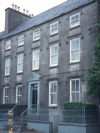 The Orchardhouse · 1225 yd
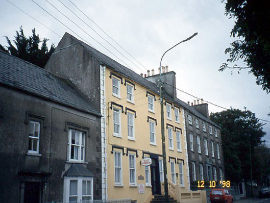 Curragraigue Househouse · 1229 yd
 Blennerville WindmillHeritage attraction · 1397 yd
 View of WindmillHeritage attraction · 1482 yd
 Tralee Bay Wetlands Eco and Activity ParkNature reserve · 1.0 mi
 Knockmichael MountainMountain / peak · 1.4 mi
 Sonny McCarthy MemorialMonument · 1.5 mi
 Pádraig Mac PiaraisMemorial · 1.5 mi
 CastleCastle, unclassified · 1.7 mi
 Castle MacallistrumCastle, unclassified · 1.8 mi