
What is recorded here
Ballydowel Big is a hidden circular enclosure on a bluff above a deep gorge, marked only as Rath on an 1812-24 Crannagh map and now visible chiefly as a cropmark in satellite imagery. It escaped the 1839 and 1900 maps, suggesting that people walked past or forgot the very place the barony survey remembered. The gorge may have done the work of keeping it alive, hiding the boundary from ordinary sight while preserving the shape of the field, the fence or the claim within it.
On a bluff high above a small stream cut into deep gorge immediately to the S, in reclaimed grassland. There are good views in all directions. Not indicated on the 1st (1839) ed. OS 6-inch map or on the 1900 revision. Indicated as ‘Rath’ on the Grand Jury barony map of Crannagh, 1812-24. Though not visible at ground level, it is visible as a cropmark (diam. c. 45m NE-SW) on satellite imagery (Google Earth imagery date 8 March 2010). The SE quadrant appears to be planted in woodland at the edge of the gorge.
See attached:
KK013-063----_01 Google Earth image (imagery date 8 March 2010)
Compiled by: Jean Farrelly
Date of upload: 24 March 2020
The monument record does not grant public access. Check the route and ask the landowner before entering private land.
- What survives
- Recorded monument
Places near here
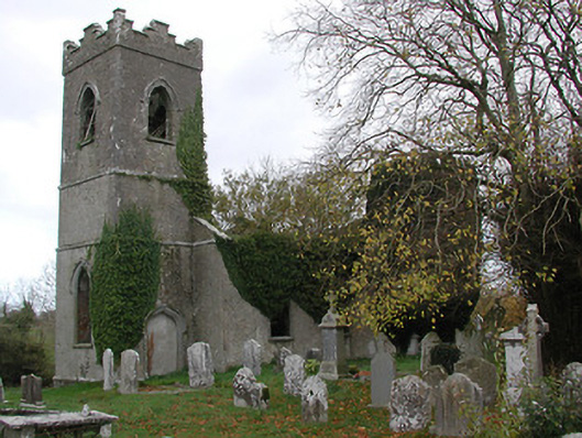 Ballinamara Churchchurch/chapel · 1028 yd
 Trinity WellHoly well · 1262 yd
 Enclosure in Gaulstown LowerEnclosure · 1721 yd
 Bawn in SartBawn · 1.1 mi
 Gaulstown CastleCastle, unclassified · 1.2 mi
 Saint Nicholas's Catholic Churchchurch/chapel · 1.5 mi
 Brown's WoodWood · 2.0 mi
 The CopseWood · 2.3 mi
 Freshford LoopWalking route · 2.4 mi
 Emma Jane Browne-ClaytonMemorial · 2.6 mi
 Graveyard in ThreecastlesGraveyard · 2.6 mi
 Anker's IslandIsland · 8.1 mi
Other information
Photo: Credit not shown in the picture search · Rights wording not checked; contact us if this picture should be removed