What is recorded here
Lismeenagh- Hachured is a sub-circular fairy fort in County Limerick, Ireland, where a twenty-seven-centimetre scarp still rises beside a shallow fosse on a south-facing slope. The road has cut through its western edge, yet the eastern bank remains proud above the pasture. Cattle graze inside the ancient line while modern sheds crowd the northeast, proving that human activity continues to reshape the boundary between the ordinary world and the hidden one.
In pasture, on S-facing slope overlooking river valley. Sub-circular area (40m N-S; 39.5m E-W) defined by scarped edge NNW->WSW and truncated by public road WSW->NNW; shallow fosse (Wth 1m; D 0.2m) runs along base of scarp S->SW. Scarp (H 2.7m; Wth 12m) is best preserved E->SE. Interior, under pasture, slopes down to E. A number of sheds have been erected immediately NE of enclosure, with a large spoil heap from their construction dumped immediately N of enclosure.
Compiled by: Denis Power
Date of upload: 26 August 2011
The monument record does not grant public access. Check the route and ask the landowner before entering private land.
- What survives
- Recorded monument
Places near here
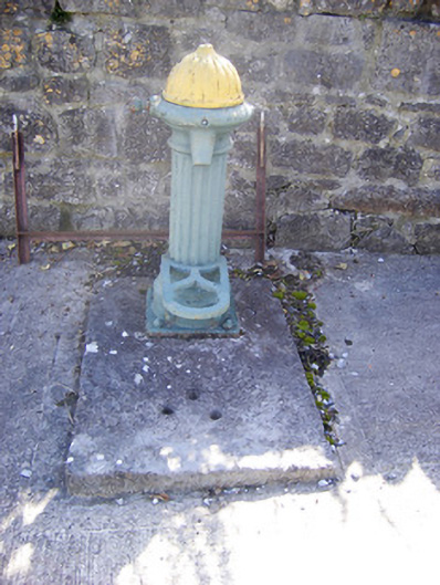 water pumpwater pump · 780 yd
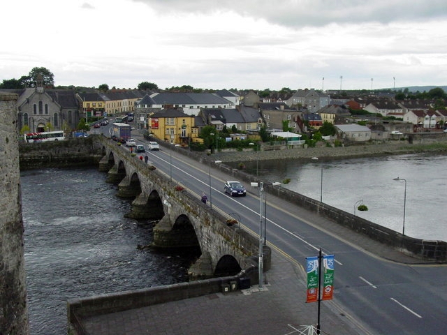
 bridgebridge · 793 yd
 Not shown.Fairy fort / earthen ringfort · 964 yd
 Holy well in Shanagolden DemesneHoly well · 1073 yd
 Castle (Site of)Castle, unclassified · 1508 yd
 Shanid CastleCastle · 1.1 mi
 Foynes Flying Boat & Maritime MuseumMuseum · 3.1 mi
 Foynes Island ViewpointViewpoint · 3.3 mi
 Monterey CypressMonterey Cypress · 3.4 mi
 Gammarel PointHeadland · 3.6 mi
 Foynes IslandIsland · 3.8 mi
 Battery PointHeadland · 3.9 mi