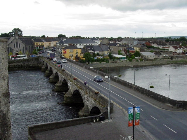
What is recorded here
In pasture 15m SW of ringfort (LI019-005----) and 15m W of fulacht Fia (LI019-272----). Not depicted on OS maps. Identified as the outline of a fort bisected by a field boundary running NNE-SSW and indicated as Site 1B on plan submitted by P.J. O’Hanlon of Teagasc in 2009 (SMR File). The levelled site is visible as the ploughed out remains of a possible bivallate ringfort consisting of a circular-shaped area (approx. diam. 40m) enclosed by two banks with intervening fosse visible on Google Earth orthoimage taken 20/10/2010. Faint cropmark of levelled enclosure bisected by farm road visible on Google Earth orthophoto taken 15/04/2020.
See attached Google Earth orthoimages
Compiled by: Martin Fitzpatrick
Date of upload: 15 July 2020
The monument record does not grant public access. Check the route and ask the landowner before entering private land.
- What survives
- Recorded monument
Places near here
 Fulacht fia in CloonyclohassyFulacht fia · 432 yd
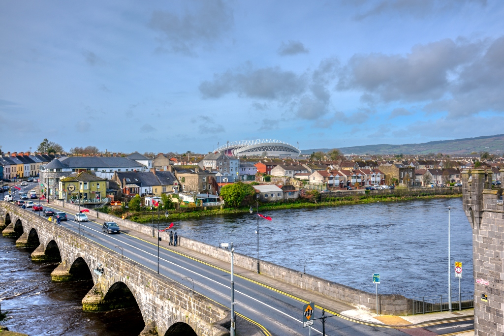 KnockourhaArchaeological place · 525 yd
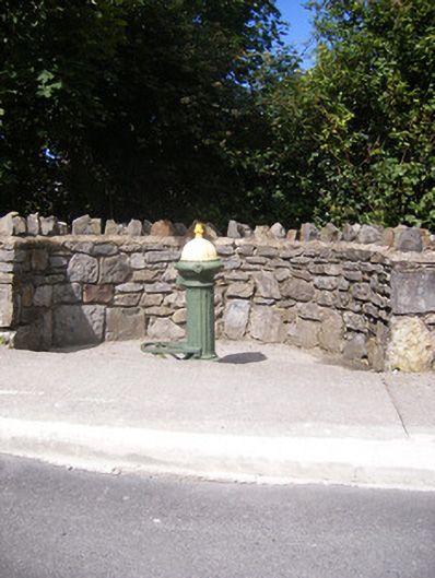 water pumpwater pump · 952 yd
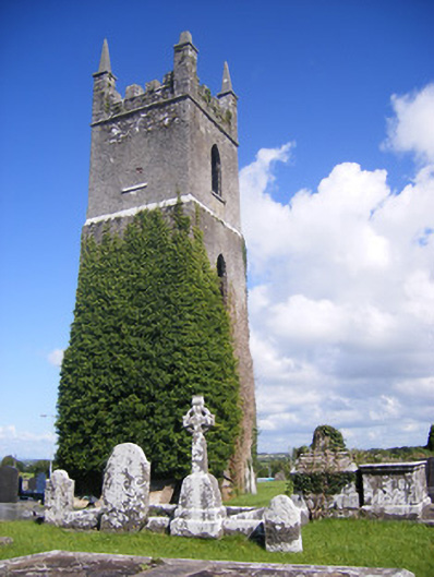 Shanagolden Churchchurch/chapel · 1140 yd
 Castle (Site of)Castle, unclassified · 1659 yd
 Shanid CastleCastle · 1.2 mi
 Foynes Flying Boat & Maritime MuseumMuseum · 2.8 mi
 Monterey CypressMonterey Cypress · 2.9 mi
 Foynes Island ViewpointViewpoint · 3.0 mi
 Gammarel PointHeadland · 3.3 mi
 Foynes IslandIsland · 3.5 mi
 Battery PointHeadland · 3.6 mi
Other information
Photo: Credit not shown in the picture search · Rights wording not checked; contact us if this picture should be removed