What is recorded here
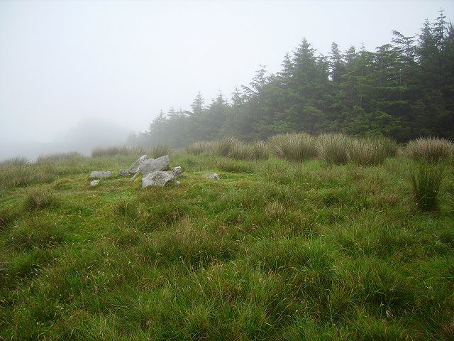
Two stones stand 2.9m apart beside the Four Mile Water river in County Cork, aligned north-northeast to south-southwest like a doorway left open for wind or memory. The smaller northeast stone rises 0.85m, the larger southwest stone 0.95m, and a buried boulder waits 2.2m to the west-southwest as if the ground had swallowed the third part of the shape. People may have passed between them, dropped offerings, or simply marked the river bend when the land was younger and less certain about its own edges.
To S and c. 50m W of bend of Four Mile Water river. Stones, aligned NNE-SSW, stand 2.9m apart. NE stone is 0.8m L, 0.6m T and 0.85m H. SW stone is 0.9m L, 0.8m T and 0.95m H. Boulder burial (CO131-005002-) 2.2m to WSW. (O Nualláin 1978, 93, no. 27; 1988, 248, no. 137)
See O'Brien 1990, 14-15 - 'Excavations 1989'.
The above description is derived from the published 'Archaeological Inventory of County Cork. Volume 1: West Cork' (Dublin: Stationery Office, 1992). In certain instances the entries have been revised and updated in the light of recent research.
Date of upload/revision: 14 January 2009
The monument record does not grant public access. Check the route and ask the landowner before entering private land.
- What survives
- Recorded monument
Places near here
 Boulder-burial in BallycommaneBoulder-burial · 12 yd
 farm housefarm house · 564 yd
 IndicatedFairy fort / earthen ringfort · 973 yd
 Durrus Church (in Ruins)Church · 1358 yd
 Barnageehy Loop WalkWalking route · 1.4 mi
 KnockboolteenaghMountain / peak · 1.6 mi
 Derrylahard EastMountain / peak · 1.6 mi
 Scart Castle (Site of)Castle, unclassified · 2.0 mi
 Durrus CheeseHeritage attraction · 2.2 mi
 Coomkeen Loop WalkWalking route · 2.3 mi
 Seskin ViewViewpoint · 2.6 mi
 GinkgoGinkgo · 2.7 mi