
What is recorded here
Ballybar Upper holds two conjoined rectangular enclosures marked only by shadow and soil memory, sitting close enough to the castle ruins to suggest they served it rather than resisted it. Double fosses cut the earth in parallel lines, shaping spaces where people may have kept animals, stored grain or simply marked the reach of local authority. The land gives up no stone, yet it repeats the shape of human intention every time rain shadows the ditch.
Aerial photograph (GB89.O.32) shows cropmark of two conjoined rectangular enclosures each defined by double fosses. Close proximity to site of castle (CW012-015).
The monument record does not grant public access. Check the route and ask the landowner before entering private land.
- What survives
- Recorded monument
Places near here
 IndicatedEnclosure · 1227 yd
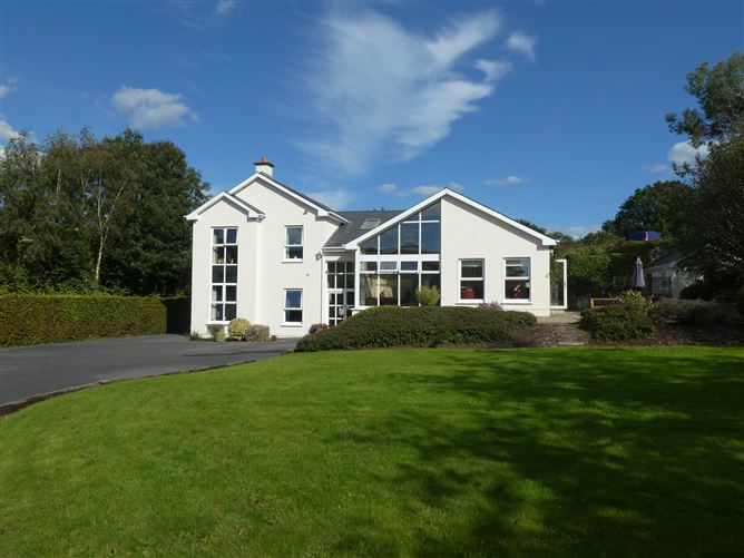 Enclosure in ClonmelshEnclosure · 1334 yd
 Saint Joseph's Catholic Churchchurch/chapel · 1521 yd
 Graveyard in ClonmelshGraveyard · 1.1 mi
 Pedunculate OakPedunculate Oak · 1.3 mi
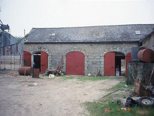 Castletown Castlestables · 1.3 mi
 Site of CastleCastle, unclassified · 2.3 mi
 Graiguealug Castle in ruinsCastle, unclassified · 2.4 mi
 Church (in ruins), GraveyardChurch · 3.2 mi
 Common LimeCommon Lime · 3.3 mi
 Carlow County MuseumMuseum · 3.5 mi
 Carlow CastleRuined medieval castle · 3.6 mi
Other information
Photo: Credit not shown in the picture search · Rights wording not checked; contact us if this picture should be removed