What is recorded here
Fairy fort in Ballyan, County Limerick: a ringfort, embanked and circular, thirty metres across, drawn on the 1923 map and gone from the grass before the 2011 walk. The Deel floods that valley when it wishes, so perhaps the water took back what it had lent. People lived inside the circle, or circles misled them; either way the ground keeps its own counsel.
In pasture, just above W side of flood-plain of River Deel. Monument, depicted on 1923 OS 6-inch map as embanked circular enclosure (diam. c. 30m), has been levelled. No trace of monument evident when inspected.
Compiled by: Denis Power
Date of upload: 26 August 2011
The monument record does not grant public access. Check the route and ask the landowner before entering private land.
- What survives
- Recorded monument
Places near here
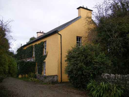 creamerycreamery · 549 yd
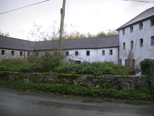 Altavilla Millmill (water) · 552 yd
 IndicatedFairy fort / earthen ringfort · 978 yd
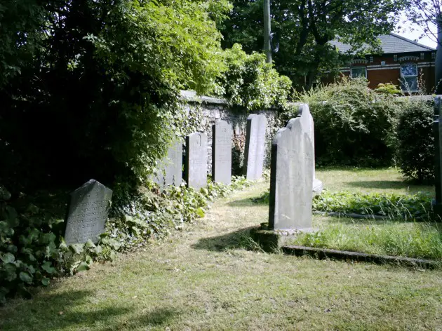 Burial in BallyanBurial · 1167 yd
 Bawn in StonevilleBawn · 1.2 mi
 Milltown Castle (in ruins)Castle, tower house · 1.5 mi
 TobernablahySpring · 2.3 mi
 St. Kieran's WellSpring · 2.7 mi
 Askeaton CastleHeritage attraction · 3.4 mi
 Flat cemetery in CroaghFlat cemetery · 4.1 mi
 European ashEuropean ash · 4.5 mi
 Holly IslandIslet · 4.8 mi